East Village, New York City
Map
Gallery
Facts and practical information
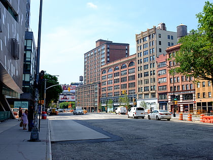
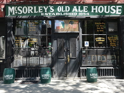
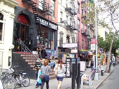
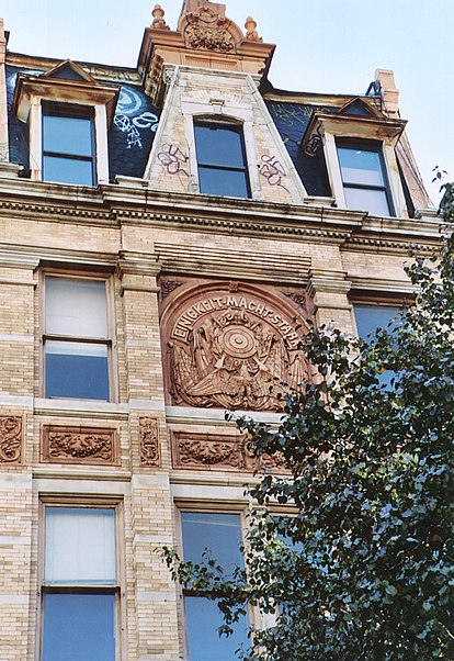
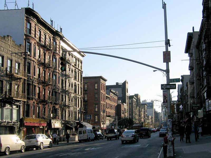
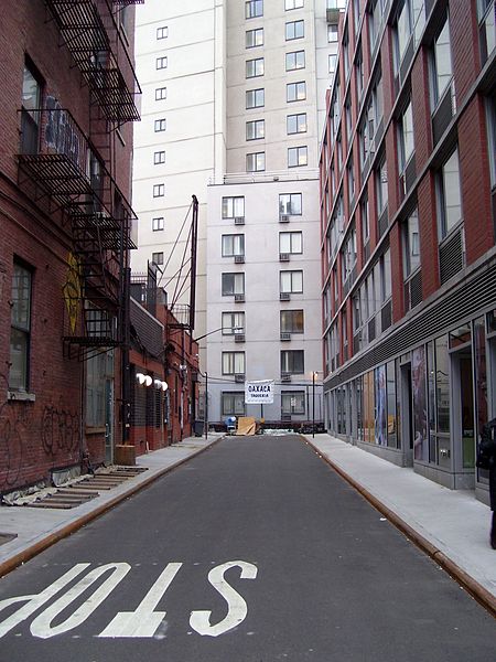
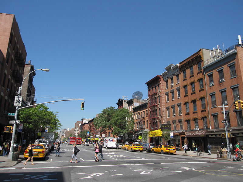
The East Village is a neighborhood on the East Side of Lower Manhattan in New York City. It is roughly defined as the area east of the Bowery and Third Avenue, between 14th Street on the north and Houston Street on the south. The East Village contains three subsections: Alphabet City, in reference to the single-letter-named avenues that are located to the east of First Avenue; Little Ukraine, near Second Avenue and 6th and 7th Streets; and the Bowery, located around the street of the same name. ()
Address
Downtown Manhattan (East Village)New York City
ContactAdd
Social media
Add
Day trips
East Village – popular in the area (distance from the attraction)
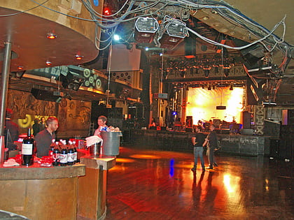
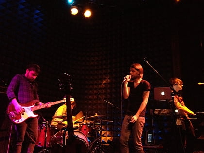
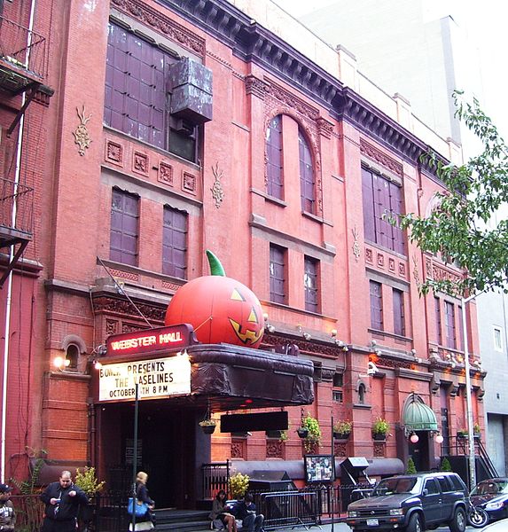
Nearby attractions include: Webster Hall, Joe's Pub, Lit Lounge, Cooper Square.
Frequently Asked Questions (FAQ)
Which popular attractions are close to East Village?
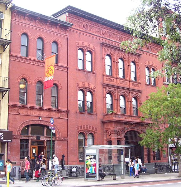
Nearby attractions include Ottendorfer Public Library and Stuyvesant Polyclinic Hospital, New York City (1 min walk), St. Marks Place, New York City (2 min walk), Incubator Arts Project, New York City (2 min walk), St. Mark's Church in-the-Bowery, New York City (2 min walk).
How to get to East Village by public transport?
The nearest stations to East Village:
Bus
Metro
Bus
- 1st Avenue & East 9th Street • Lines: M15 (5 min walk)
- 4th Avenue & East 9th Street • Lines: M1 (5 min walk)
Metro
- Astor Place • Lines: <6>, 4, 6 (6 min walk)
- 3rd Avenue • Lines: L (7 min walk)



 Subway
 Manhattan Buses