Bayway Isles, Saint Petersburg

Map
Facts and practical information
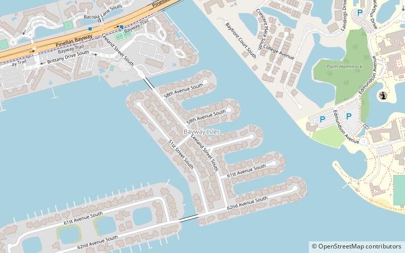
Bayway Isles is a residential neighborhood consisting of two islands in the southwestern part of the city of St. Petersburg, Florida. The islands are home to almost 200 families. The community extends southward from the Pinellas Bayway causeway into the waters of southern Boca Ciega Bay. Bayway Isles is a guarded, deed-restricted community. ()
Coordinates: 27°42'47"N, 82°41'49"W
Address
Bayway IslesSaint Petersburg
ContactAdd
Social media
Add
Day trips
Bayway Isles – popular in the area (distance from the attraction)
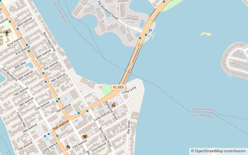
Nearby attractions include: Dr. Carter G. Woodson African American Museum, Corey Causeway, Beach Escape Game, Pass-a-Grille.
Frequently Asked Questions (FAQ)
How to get to Bayway Isles by public transport?
The nearest stations to Bayway Isles:
Bus
Bus
- Pinellas Bayway & Leeland Street South • Lines: 90 (9 min walk)
- 54th Avenue South & College Landings Court • Lines: 90 (14 min walk)
 Metro
Metro


