Shoreham Hill Bridge, Washington D.C.
Map
Facts and practical information
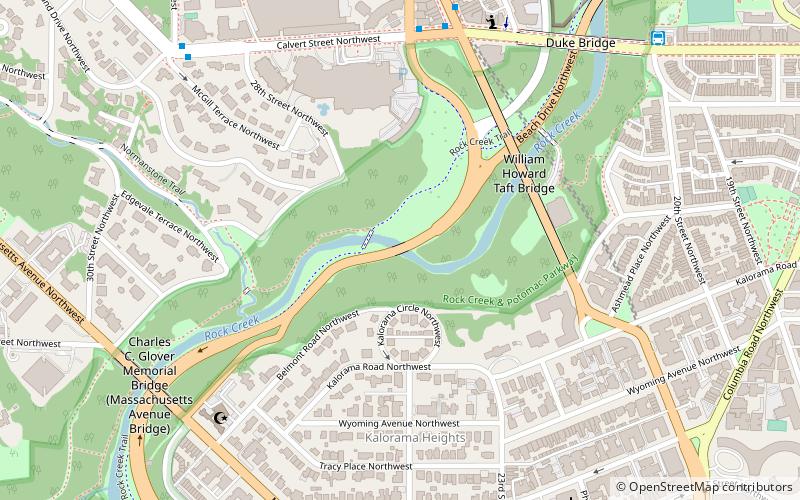
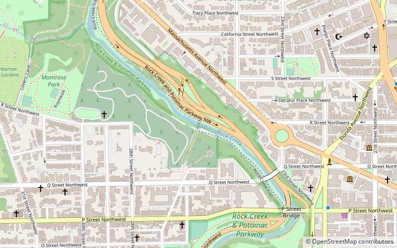
The Shoreham Hill Bridge is a bridge carrying the Rock Creek and Potomac Parkway across Rock Creek in Washington, DC. It is the most upstream of three bridges where the Rock Creek and Potomac Parkway switches from one side of the river to the other, the others being the bridge near P Street and the L Street Bridge. ()
Coordinates: 38°55'12"N, 77°3'10"W
Address
Northwest Washington (Rock Creek and Potomac Parkway)Washington D.C.
ContactAdd
Social media
Add
Getting there by public transportation
Public transportation stops near this location
- Metro
- Bus
 Metro
Metro
- Calculate routeWoodley Park 10 min walk
- Calculate routeDupont Circle 22 min walk
- Calculate routeBus Loading 22 min walk
Day trips


Frequently Asked Questions (FAQ)
Which popular attractions are close to Shoreham Hill Bridge?
Nearby attractions include Saddle Club Footbridge, Washington D.C. (1 min walk), The Lindens, Washington D.C. (3 min walk), Taft Bridge, Washington D.C. (4 min walk), Kalorama, Washington D.C. (6 min walk).
How to get to Shoreham Hill Bridge by public transport?
The nearest stations to Shoreham Hill Bridge:
Metro
Bus
Metro
- Woodley Park • Lines: Rd (10 min walk)
- Dupont Circle • Lines: Rd (22 min walk)
Bus
- Bus Loading (22 min walk)