West Loop–LaSalle Street Historic District, Chicago
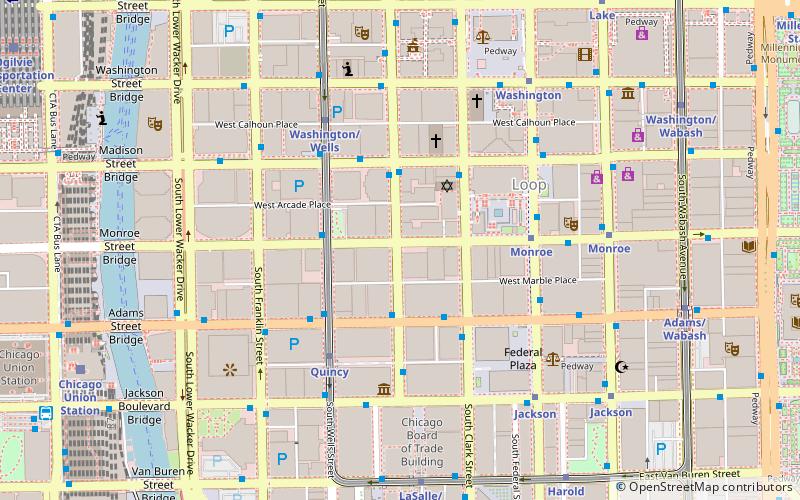
Map
Facts and practical information
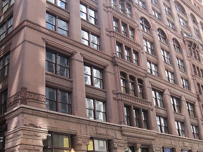
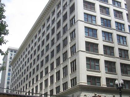
The West Loop–LaSalle Street Historic District is a historic district centered on LaSalle Street in the western Chicago Loop. The district was added to the National Register of Historic Places on June 1, 2013. A boundary increase on July 24, 2017, added two buildings at 330 S. Wells Street and 212 W. Van Buren Street to the district. ()
Coordinates: 41°52'50"N, 87°37'56"W
Address
Downtown (The Loop)Chicago
ContactAdd
Social media
Add
Day trips
West Loop–LaSalle Street Historic District – popular in the area (distance from the attraction)
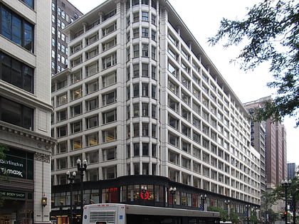
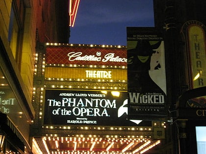
Nearby attractions include: State Street, Sullivan Center, Money Museum, Civic Opera House.
Frequently Asked Questions (FAQ)
Which popular attractions are close to West Loop–LaSalle Street Historic District?
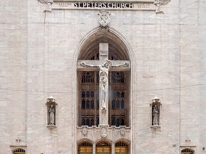
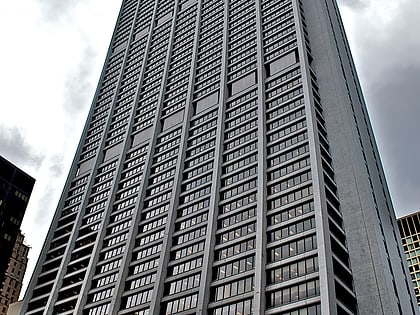
Nearby attractions include U.S. Bank Building, Chicago (2 min walk), Home Insurance Building, Chicago (2 min walk), Chase Tower, Chicago (2 min walk), Loop Synagogue, Chicago (3 min walk).
How to get to West Loop–LaSalle Street Historic District by public transport?
The nearest stations to West Loop–LaSalle Street Historic District:
Bus
Metro
Train
Bus
- LaSalle & Adams • Lines: 134, 135, 136, 156 (2 min walk)
- Wells & Monroe • Lines: 37 (3 min walk)
Metro
- Quincy • Lines: Brown, Orange, Pink, Purple (4 min walk)
- Monroe • Lines: Blue, Red (5 min walk)
Train
- LaSalle Street Station (10 min walk)
- Chicago Union Station (10 min walk)
 Rail "L"
