Franz Park, St. Louis
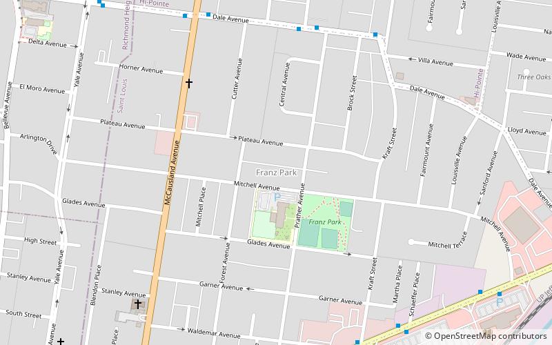
Map

Map

Facts and practical information
Franz Park is a neighborhood of St. Louis, Missouri. ()
Coordinates: 38°37'23"N, 90°18'17"W
Day trips
Franz Park – popular in the area (distance from the attraction)
Nearby attractions include: Forest Park, Saint Louis Art Museum, Saint Louis Zoo, Apotheosis of St. Louis.
Frequently Asked Questions (FAQ)
Which popular attractions are close to Franz Park?
Nearby attractions include Hi-Pointe, St. Louis (13 min walk), Dogtown, St. Louis (17 min walk), Clayton/Tamm, St. Louis (19 min walk), Turtle Park, St. Louis (23 min walk).
How to get to Franz Park by public transport?
The nearest stations to Franz Park:
Train
Train
- River's Edge Station (27 min walk)
- Red Rocks Station (31 min walk)


