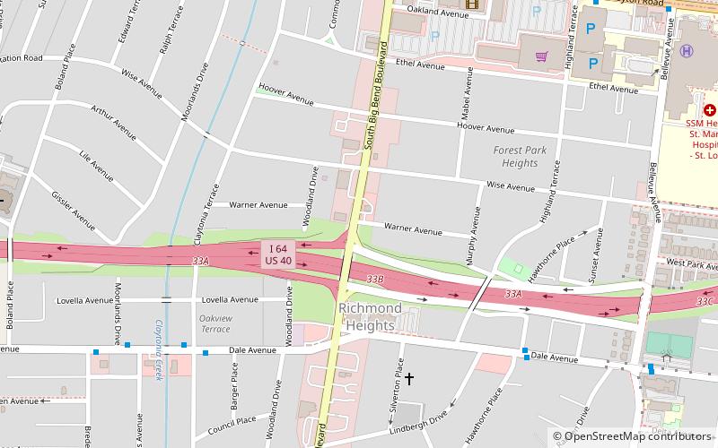
Richmond Heights, St. Louis

Gallery (1)
Map
Map
Facts and practical information
Richmond Heights is a city in St. Louis County, Missouri. It is an inner-ring suburb of St. Louis, Missouri, United States. The population was 8,603 at the 2010 census. According to Robert L. Ramsay, the name was suggested by Robert E. Lee, who thought the topography of the area resembled Richmond, Virginia. ()
Getting there by public transportation
Public transportation stops near this location
- Bus
- Light rail
 Bus
Bus
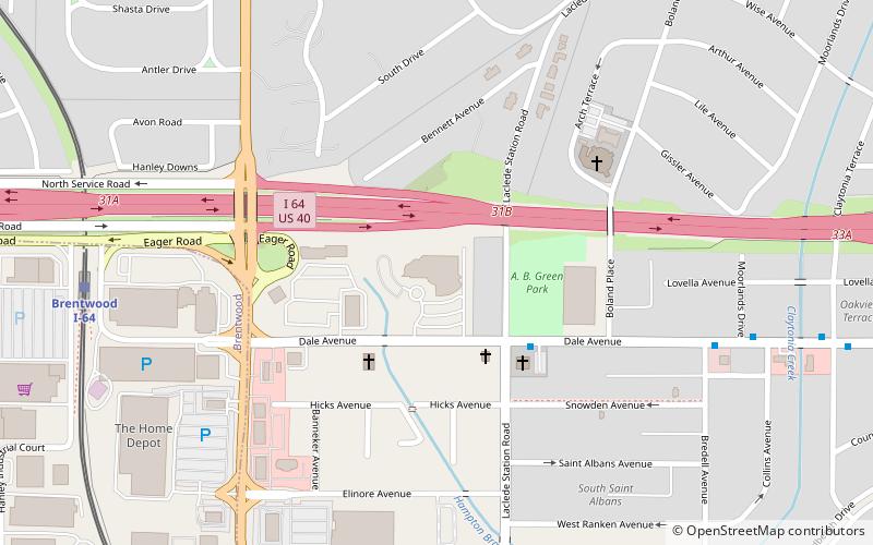
- Calculate routeBrentwood I-64 26 min walk
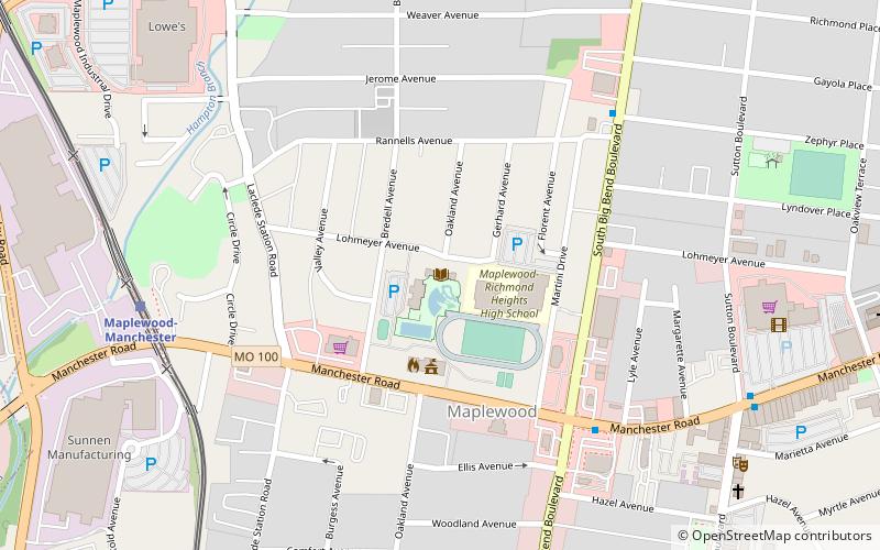
- Calculate routeMaplewood-Manchester 33 min walk
- Calculate routeClayton 40 min walk
- Calculate routeForsyth at Wallace Circle 33 min walk
- Calculate routeMallinckrodt Center 34 min walk
- Calculate routeSkinker at Brookings 40 min walk
Day trips


Frequently Asked Questions (FAQ)
Which popular attractions are close to Richmond Heights?
Nearby attractions include Concordia Seminary, St. Louis (16 min walk), Richmond Heights Memorial Library, St. Louis (17 min walk), DeMun, St. Louis (20 min walk), Fontbonne University, St. Louis (22 min walk).
How to get to Richmond Heights by public transport?
The nearest stations to Richmond Heights:
Light rail
Bus
Light rail
- Brentwood I-64 • Lines: Blue (26 min walk)
- Maplewood-Manchester • Lines: Blue (33 min walk)
Bus
- Forsyth at Wallace Circle • Lines: 5 (33 min walk)
- Mallinckrodt Center • Lines: 5 (34 min walk)