India Basin, San Francisco
Map
Gallery
Facts and practical information
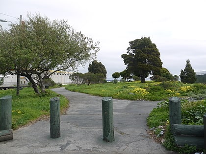
India Basin is neighborhood in the southeastern part of San Francisco, California, considered to be part of the larger Bayview–Hunters Point neighborhood. ()
Coordinates: 37°44'27"N, 122°22'56"W
Address
Southeast San Francisco (India Basin)San Francisco
ContactAdd
Social media
Add
Day trips
India Basin – popular in the area (distance from the attraction)
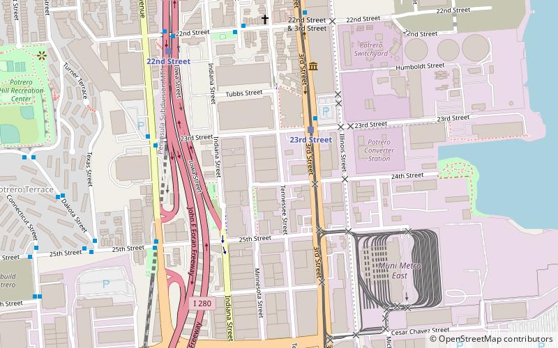
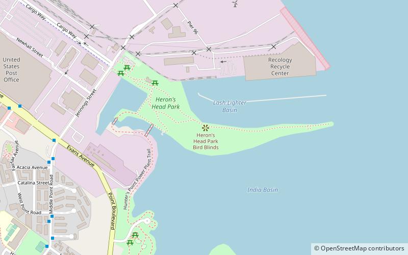
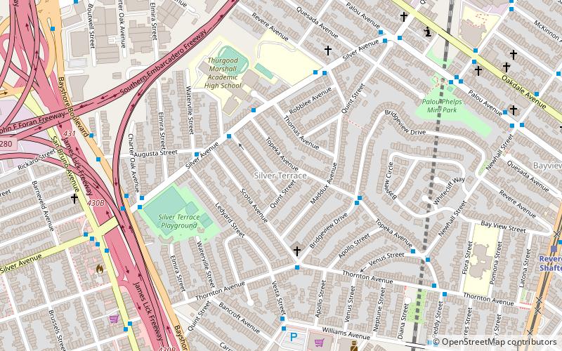
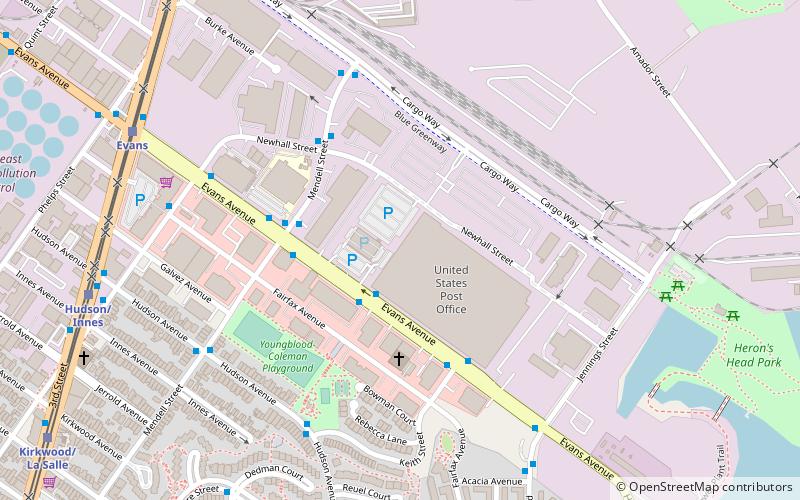
Nearby attractions include: Bayview Opera House, Warm Water Cove, Anglim Gilbert Gallery, Heron's Head Park.
Frequently Asked Questions (FAQ)
Which popular attractions are close to India Basin?
Nearby attractions include Heron's Head Park, San Francisco (14 min walk), Bayview Opera House, San Francisco (15 min walk).
How to get to India Basin by public transport?
The nearest stations to India Basin:
Bus
Light rail
Trolleybus
Train
Bus
- U.S. Post Office • Lines: 19, 44 (2 min walk)
- Mendell Street & Evans Avenue • Lines: 91 (4 min walk)
Light rail
- Evans • Lines: T (9 min walk)
- Hudson/Innes • Lines: T (10 min walk)
Trolleybus
- Newcomb Avenue & Newhall Street • Lines: 24 (16 min walk)
- Newhall Street & Oakdale Avenue • Lines: 24 (17 min walk)
Train
- 22nd Street (33 min walk)

 Muni Metro
