Vermont Street, San Francisco

Facts and practical information
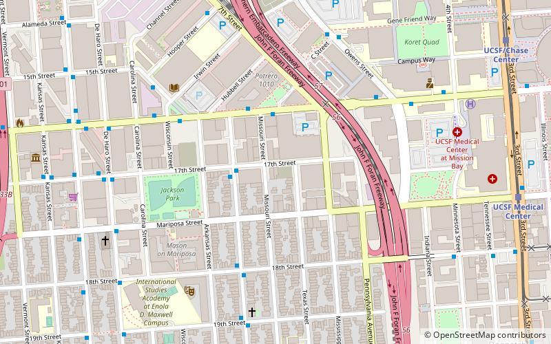
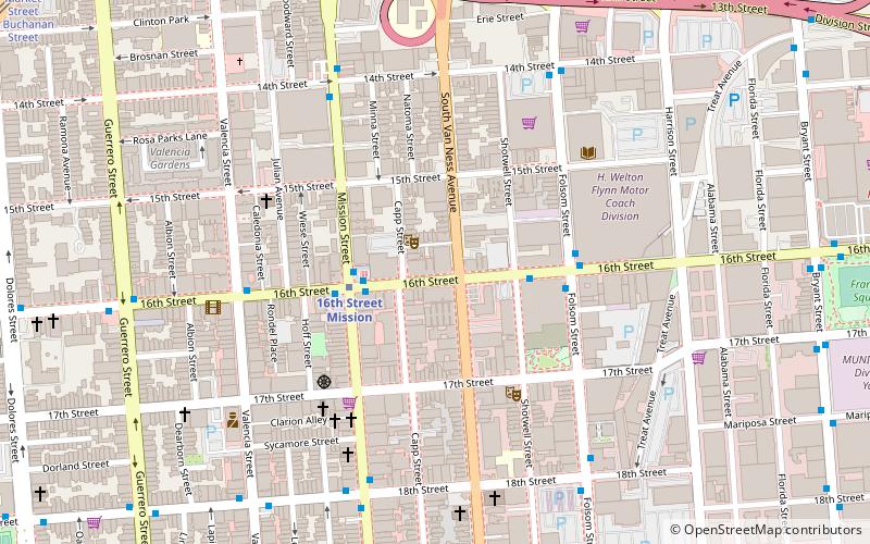
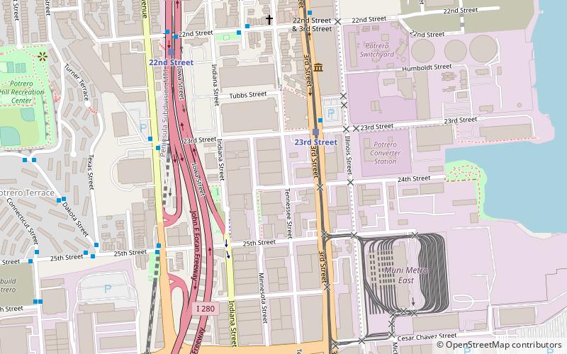
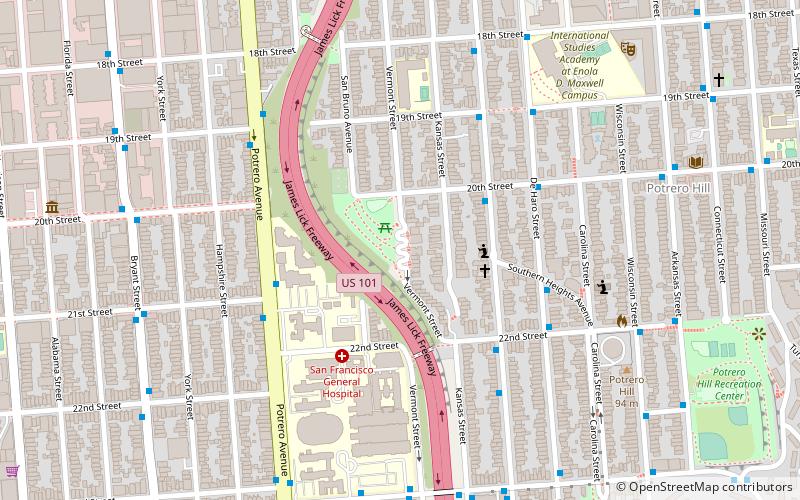
Vermont Street is a north–south street in the Potrero Hill district of San Francisco, one of a series of streets in the Potrero Hill district named after American battleships. It begins at Division Street near the South of Market area and runs south, paralleling the U.S. 101 freeway. At 22nd Street Vermont Street jumps to the other side of the freeway via a pedestrian bridge. That piece ends at 25th Street; Vermont resumes at 26th Street back on the east side of the freeway and continues to its south end at Cesar Chavez Street. ()
Southeast San Francisco (Potrero Hill)San Francisco
Vermont Street – popular in the area (distance from the attraction)
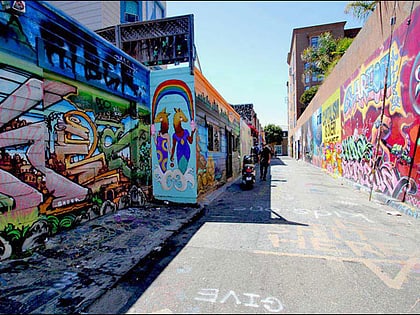
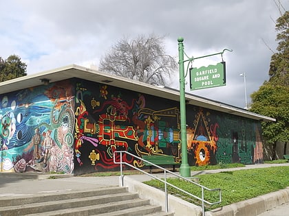
Nearby attractions include: Bottom of the Hill, Clarion Alley, Garfield Square, Letterform Archive.
Frequently Asked Questions (FAQ)
Which popular attractions are close to Vermont Street?
How to get to Vermont Street by public transport?
Bus
- Rhode Island Street & Southern Heights Avenue • Lines: 19 (3 min walk)
- Potrero Avenue & 21st Street • Lines: 292, 397, 9, 90, Fcx (5 min walk)
Trolleybus
- Potrero Avenue & 21st Street • Lines: 33 (5 min walk)
- San Francisco General Hospital • Lines: 33 (8 min walk)
Train
- 22nd Street (17 min walk)
Light rail
- 20th Street • Lines: T (22 min walk)
- 23rd Street • Lines: T (23 min walk)
Metro
- 24th Street Mission • Lines: Blue, Green, Red, Yellow (23 min walk)
- 16th Street Mission • Lines: Blue, Green, Red, Yellow (25 min walk)
Tram
- Market Street & Gough Street • Lines: F (36 min walk)

 Muni Metro