Raymond L. Flynn Marine Park, Boston
Facts and practical information
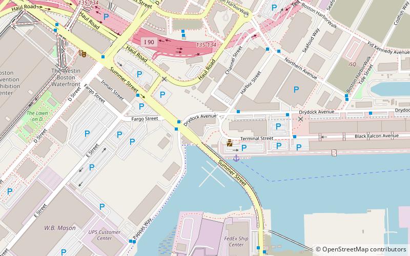
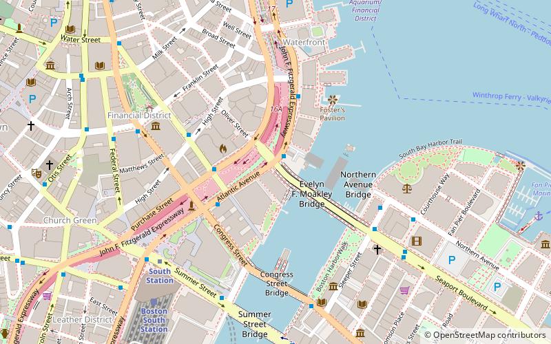
Raymond L. Flynn Marine Park, formerly known as the Boston Marine Industrial Park, is an industrial park which has been created on the Commonwealth Flats in South Boston, Massachusetts, United States. Before its creation, the site was used as the location for the South Boston Naval Annex, the South Boston Army Base, and was used as a general seaport district for many years. Currently, the park is in the process of being redeveloped, and utilizes many of the former military buildings. The Black Falcon Cruise Terminal is located on the site of the former Army base. ()
South Boston (D Street - West Broadway)Boston
- Metro
- Bus
- Light rail
- Train
 Metro
Metro
- Calculate routeSummer St @ Dry Dock Ave 2 min walk
- Calculate routeBroadway 26 min walk
- Calculate routeSouth Station 27 min walk
- Calculate routeAquarium 33 min walk
- Calculate routeDowntown Crossing 35 min walk
- Calculate routeBoston South Station 26 min walk
- Calculate routeGovernment Center 40 min walk
 MBTA Subway
Raymond L. Flynn Marine Park – popular in the area (distance from the attraction)
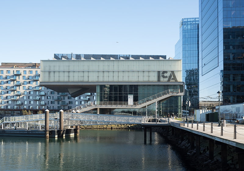
Nearby attractions include: Institute of Contemporary Art, South Bay Harbor Trail, Boston Children's Museum, Cathedral of St. George Historic District.


Frequently Asked Questions (FAQ)
Which popular attractions are close to Raymond L. Flynn Marine Park?
How to get to Raymond L. Flynn Marine Park by public transport?
Bus
- Summer St @ Dry Dock Ave • Lines: 7 (2 min walk)
Metro
- Broadway • Lines: Red (26 min walk)
- South Station • Lines: Red (27 min walk)
Train
- Boston South Station (26 min walk)
Light rail
- Government Center • Lines: C, D, E (40 min walk)