Clifton Heights, St. Louis
Map

Map

Facts and practical information
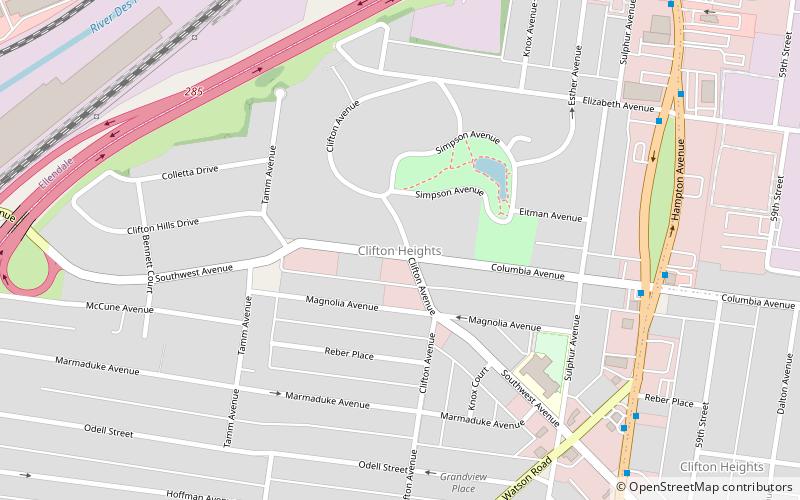
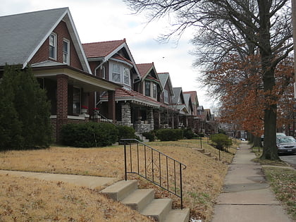
Clifton Heights is a neighborhood of St. Louis, Missouri, US, located along the southwest border of the city and highlighted by a park — Clifton Park — with a playground and a lake. ()
Coordinates: 38°36'46"N, 90°17'35"W
Day trips
Clifton Heights – popular in the area (distance from the attraction)
Nearby attractions include: Saint Louis Science Center, Kings Oak, Southwest Garden, Clayton/Tamm.


