Milton Centre Historic District, Milton
Map

Map

Facts and practical information
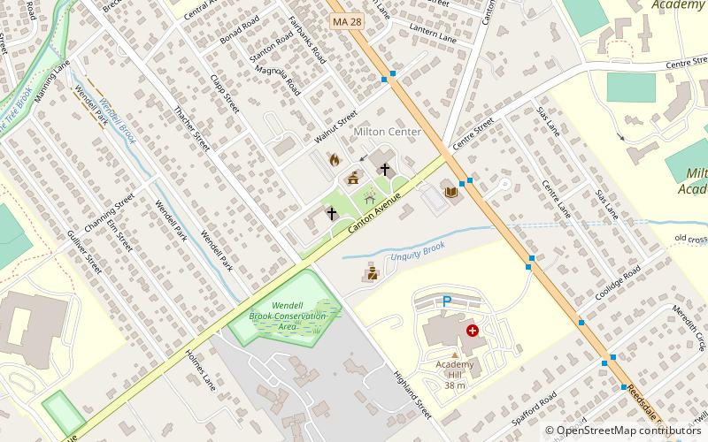
The Milton Centre Historic District encompasses the traditional civic heart of Milton, Massachusetts. The district is located on Canton Avenue between Readsdale Road and Thacher and Highland Streets, and includes municipal buildings, churches, and residences, most built in the 18th or 19th century. The district was listed on the National Register of Historic Places in 1988. ()
Coordinates: 42°15'12"N, 71°4'47"W
Address
Milton (Milton Center)Milton
ContactAdd
Social media
Add
Day trips
Milton Centre Historic District – popular in the area (distance from the attraction)
Nearby attractions include: Captain Robert Bennet Forbes House, Blue Hills Parkway, Lower Neponset River Trail, Milton Cemetery.
Frequently Asked Questions (FAQ)
How to get to Milton Centre Historic District by public transport?
The nearest stations to Milton Centre Historic District:
Bus
Light rail
Bus
- Reedsdale Rd @ Canton Ave • Lines: 240 outbound, 240-1 outbound, 240-9 outbound (4 min walk)
- Reedsdale Rd @ Academy Lane • Lines: 240, 240 inbound, 240-1 inbound, 240-9 inbound (4 min walk)
Light rail
- Valley Road • Lines: M (27 min walk)
- Capen Street • Lines: M (27 min walk)


