Gov. Thomas Hutchinson's Ha-ha, Milton
Map

Map

Facts and practical information
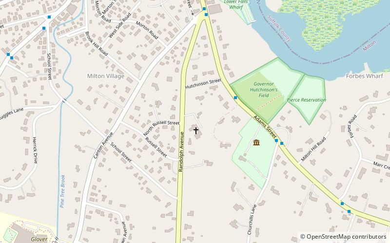
Gov. Thomas Hutchinson's Ha-ha is a historic ha-ha at 100–122 Randolph Avenue in Milton, Massachusetts, United States. ()
Coordinates: 42°15'55"N, 71°4'4"W
Address
Milton (Milton Hill)Milton
ContactAdd
Social media
Add
Day trips
Gov. Thomas Hutchinson's Ha-ha – popular in the area (distance from the attraction)
Nearby attractions include: Milton Centre Historic District, Captain Robert Bennet Forbes House, Dorchester Park, Eire Pub.
Frequently Asked Questions (FAQ)
Which popular attractions are close to Gov. Thomas Hutchinson's Ha-ha?
Nearby attractions include Milton Hill Historic District, Milton (3 min walk), Captain Robert Bennet Forbes House, Milton (4 min walk), Milton Cemetery, Milton (12 min walk), Lower Mills, Boston (14 min walk).
How to get to Gov. Thomas Hutchinson's Ha-ha by public transport?
The nearest stations to Gov. Thomas Hutchinson's Ha-ha:
Light rail
Bus
Train
Light rail
- Milton • Lines: M (9 min walk)
- Central Avenue • Lines: M (12 min walk)
Bus
- Central Ave @ Maple St • Lines: 240 outbound, 240-1 outbound, 240-9 outbound (11 min walk)
- Central Ave @ Griggs Ln • Lines: 240, 240 inbound, 240-1 inbound, 240-9 inbound (12 min walk)
Train
- Morton Street (36 min walk)


