Trek Zone

West Virginia Avenue, Mount Rainier

#6 among attractions in Mount Rainier

Street
West Virginia Avenue location map
Map

Facts and practical information
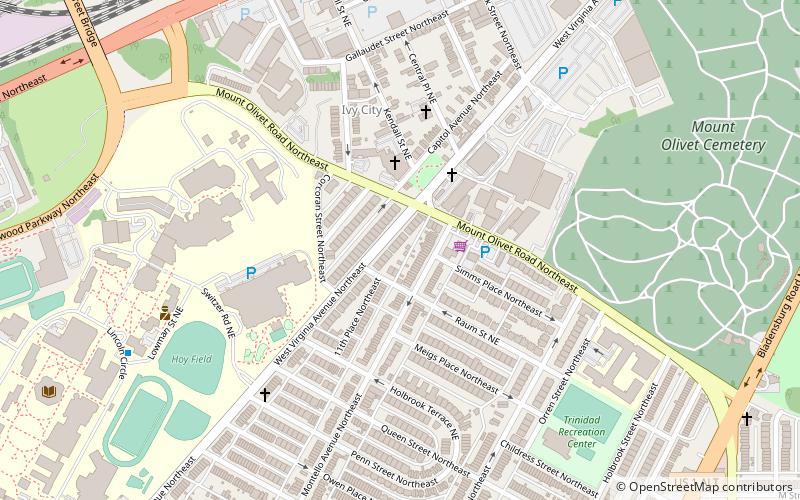
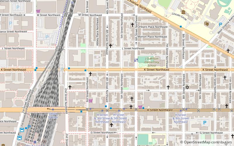
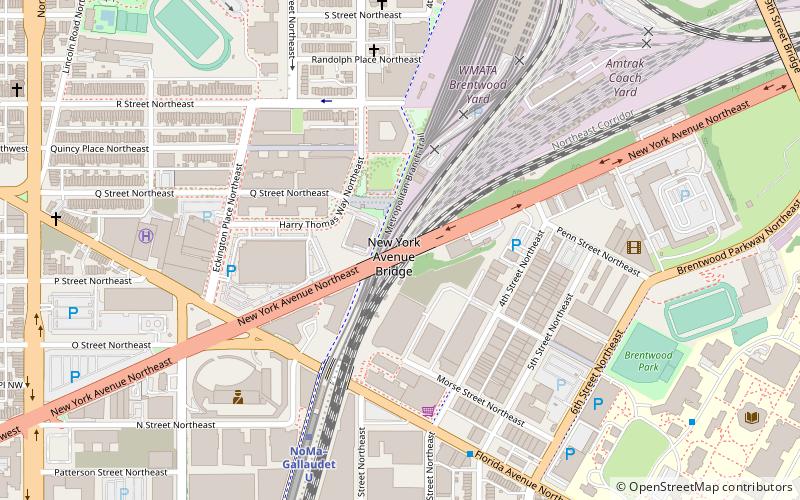
Coordinates: 38°54'35"N, 76°59'10"W
Address

Northeast Washington (Trinidad - Langston)Mount Rainier United States

ContactAdd
Social media
Add
Day trips

West Virginia Avenue – popular in the area (distance from the attraction)

Nearby attractions include: United States National Arboretum, Metropolitan Branch Trail, Near Northeast, National Bonsai Foundation.

  • united states national arboretum washington d c1.1 miE
  • metropolitan branch trail washington d c1 miW
  • near northeast washington d c location map
    0.9 miSW
  • national bonsai foundation washington d c0.9 miE
  • union station washington d c1.4 miSW
  • woodward lothrop service warehouse washington d c1 miW
  • hecht company warehouse mount rainier0.4 miN
  • rosedale recreation center washington d c0.9 miSE
  • gallaudet college historic district washington d c0.6 miSW
  • national grove of state trees mount rainier0.9 miE
  • new york avenue bridge washington d c location map
    0.8 miW

Frequently Asked Questions (FAQ)

Which popular attractions are close to West Virginia Avenue?

Nearby attractions include Ivy City, Washington D.C. (8 min walk), Gallaudet University, Washington D.C. (10 min walk), Mount Olivet Cemetery, Washington D.C. (10 min walk), Hecht Company Warehouse, Mount Rainier (11 min walk).

Where to next? Visit district of columbia District of Columbia region page or discover the top tourist attractions in United States.