Fitness and Recreation Center, Boston
Map
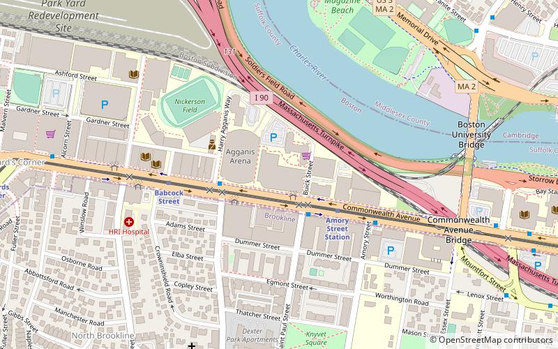
Map

Facts and practical information
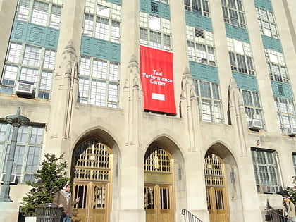
The Boston University Fitness and Recreation Center is an athletic facility at Boston University. Built in 2004–2005 to replace the aging and inadequate Case Gym, the FitRec was built on the site of a National Guard Armory, to which there is a nod in the form of an informative plaque, found just west of the building. ()
Coordinates: 42°21'6"N, 71°6'60"W
Address
915 Commonwealth AvenueAllstonBoston
ContactAdd
Social media
Add
Day trips
Fitness and Recreation Center – popular in the area (distance from the attraction)
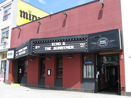
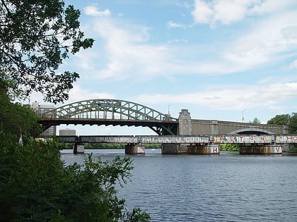
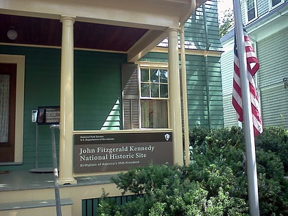
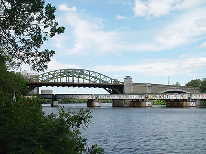
Nearby attractions include: Agganis Arena, Paradise Rock Club, Boston University Bridge, John F. Kennedy National Historic Site.
Frequently Asked Questions (FAQ)
Which popular attractions are close to Fitness and Recreation Center?
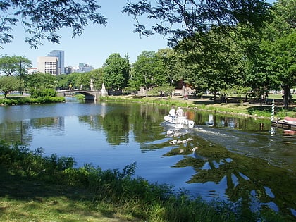
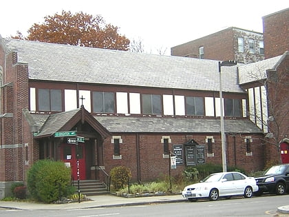
Nearby attractions include Agganis Arena, Boston (1 min walk), Boston Playwrights' Theatre, Boston (3 min walk), Paradise Rock Club, Boston (5 min walk), Charles River Reservation, Boston (5 min walk).
How to get to Fitness and Recreation Center by public transport?
The nearest stations to Fitness and Recreation Center:
Bus
Light rail
Train
Metro
Bus
- Commonwealth Ave @ St Paul St • Lines: 57 (2 min walk)
- 1079 Commonwealth Ave • Lines: 57 (10 min walk)
Light rail
- Amory Street • Lines: B (3 min walk)
- Babcock Street • Lines: B (5 min walk)
Train
- Lansdowne (24 min walk)
Metro
- Central Square • Lines: Red (30 min walk)

 MBTA Subway
