Abigail Vare School, Philadelphia
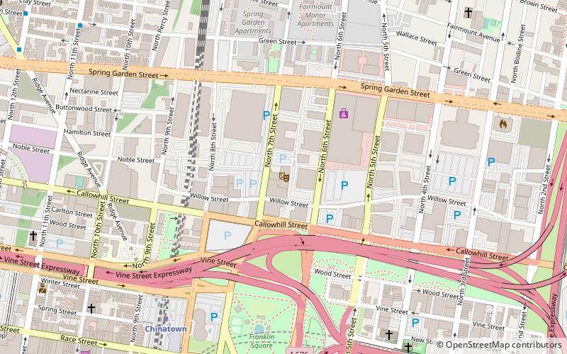
Map
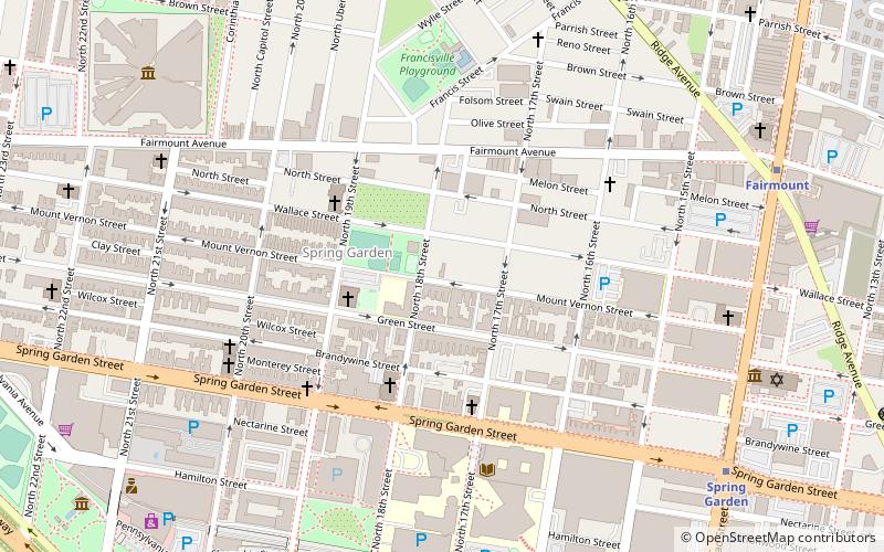
Map

Facts and practical information
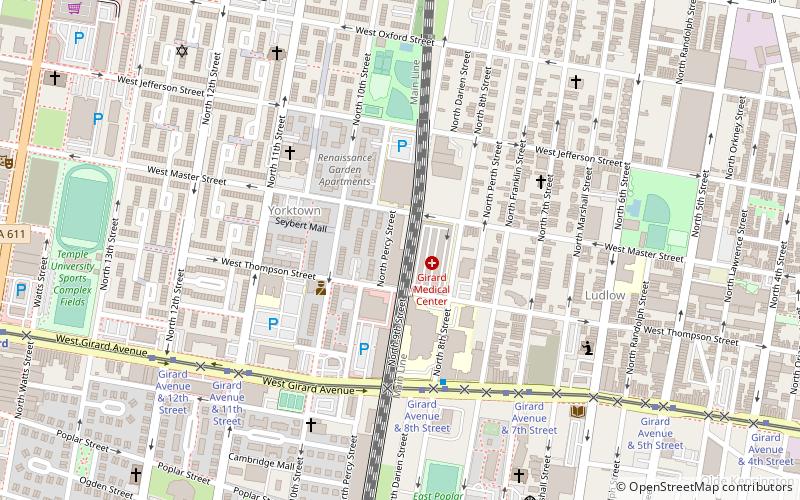
Abigail Vare School is a former school building located in the Pennsport neighborhood of Philadelphia, Pennsylvania. It is located across from Dickinson Square Park. ()
Coordinates: 39°58'22"N, 75°9'3"W
Address
Lower North (Yorktown)Philadelphia
ContactAdd
Social media
Add
Day trips
Abigail Vare School – popular in the area (distance from the attraction)
Nearby attractions include: Eastern State Penitentiary, Franklin Music Hall, Mural Arts Program, Edwin Forrest House.
Frequently Asked Questions (FAQ)
Which popular attractions are close to Abigail Vare School?
Nearby attractions include William H. Harrison School, Philadelphia (4 min walk), James R. Ludlow School, Philadelphia (7 min walk), Chenrezig Tibetan Buddhist Center of Philadelphia, Philadelphia (9 min walk), National Shrine of St. John Neumann, Philadelphia (10 min walk).
How to get to Abigail Vare School by public transport?
The nearest stations to Abigail Vare School:
Tram
Metro
Train
Tram
- Girard Avenue & 8th Street • Lines: 15 (5 min walk)
Metro
- Girard • Lines: Bsl, Mfl (21 min walk)
- Cecil B. Moore • Lines: Bsl (15 min walk)
Train
- Temple University (16 min walk)

 SEPTA Regional Rail