Hanlon Longwood, Baltimore
Map
Facts and practical information
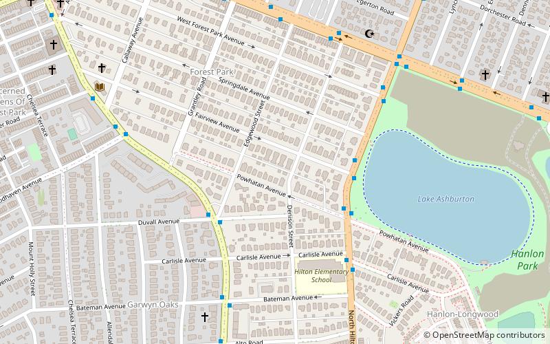
Hanlon Longwood is a neighborhood in the Northwest District of Baltimore, located between the neighborhoods of Garwyn Oaks and Burleigh–Leighton. It is bounded by North Dukeland Street, Garrison Boulevard and the Gwynns Falls Parkway. The neighborhood's north boundary is marked by North Longwood Street, North Hilton Street and Liberty Heights Avenue. ()
Coordinates: 39°19'17"N, 76°40'31"W
Address
Northwestern Baltimore (Forest Park)Baltimore
ContactAdd
Social media
Add
Day trips
Hanlon Longwood – popular in the area (distance from the attraction)
Nearby attractions include: Mondawmin Mall, Gwynns Falls Leakin Park, Carrie Murray Nature Center, Windsor Hills Historic District.
Frequently Asked Questions (FAQ)
Which popular attractions are close to Hanlon Longwood?
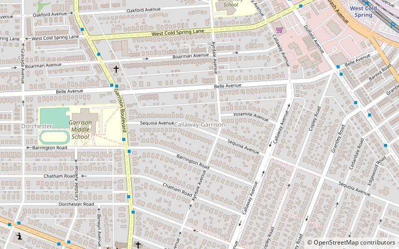
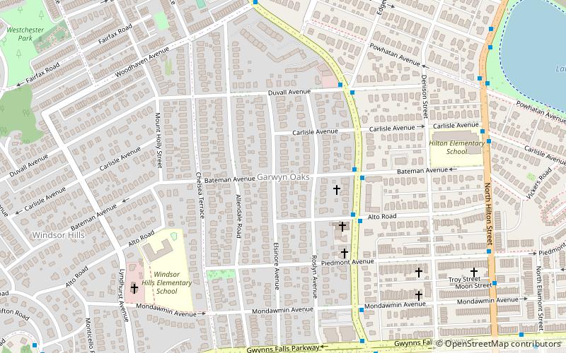
Nearby attractions include Garwyn Oaks, Baltimore (8 min walk), Windsor Hills Historic District, Baltimore (17 min walk), Callaway-Garrison, Baltimore (20 min walk).
How to get to Hanlon Longwood by public transport?
The nearest stations to Hanlon Longwood:
Bus
Metro
Bus
- Druid Park Drive & Towanda Avenue Eastbound • Lines: 22 (23 min walk)
- Towanda Avenue & 1st Liberty Village Entrance Southbound • Lines: 82 (24 min walk)
Metro
- West Coldspring • Lines: M (27 min walk)
