Rhodes Street Historic District, Providence

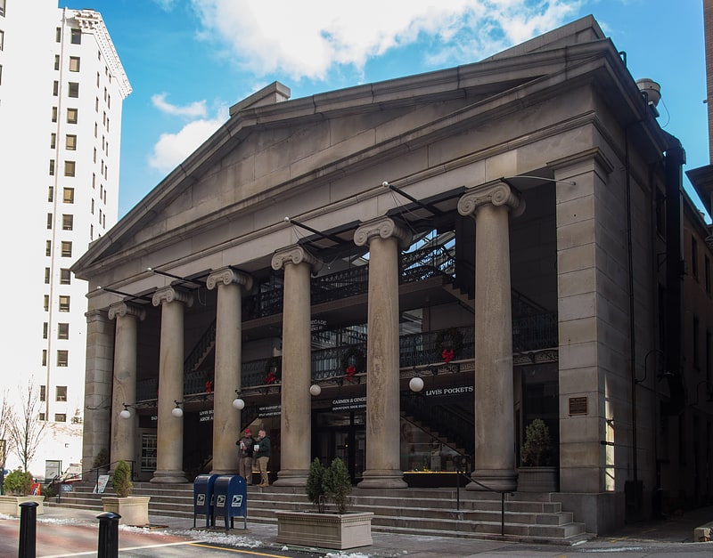
Gallery (1)
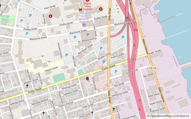
Map
Map
Facts and practical information
Rhodes Street Historic District is a residential historic district encompassing one block of Rhodes Street in southern Providence, Rhode Island, along with the dead-end Janes and Alphonso Streets. This area has a well-preserved collection of stylish 19th century houses, built roughly between 1850 and 1895. South Providence did not see much residential development until after industry began moving into the area. These houses were built on land that was originally part of the Rhodes family farm, and were built for managers of nearby industrial facilities. Architecturally the houses represent a cross-section of styles popular in the period. ()
Coordinates: 41°48'28"N, 71°24'30"W
Address
Upper South ProvidenceProvidence
ContactAdd
Social media
Add
Getting there by public transportation
Public transportation stops near this location
- Bus
 Bus
Bus
- Calculate routeEddy and Borden 8 min walk
- Calculate routeDorrance and Pine 27 min walk
- Calculate routeKennedy Plaza Intermodal Transportation Center 30 min walk
Day trips


Frequently Asked Questions (FAQ)
Which popular attractions are close to Rhodes Street Historic District?
Nearby attractions include Big Blue Bug, Providence (4 min walk), Calvary Baptist Church, Providence (8 min walk), Upper South Providence, Providence (8 min walk), Lower South Providence, Providence (11 min walk).
How to get to Rhodes Street Historic District by public transport?
The nearest stations to Rhodes Street Historic District:
Bus
Bus
- Eddy and Borden • Lines: 3, 3A, 3B (8 min walk)
- Dorrance and Pine • Lines: 1, 3, 3A, 3B, 62 (27 min walk)