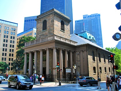
Pi Alley, Boston
Map
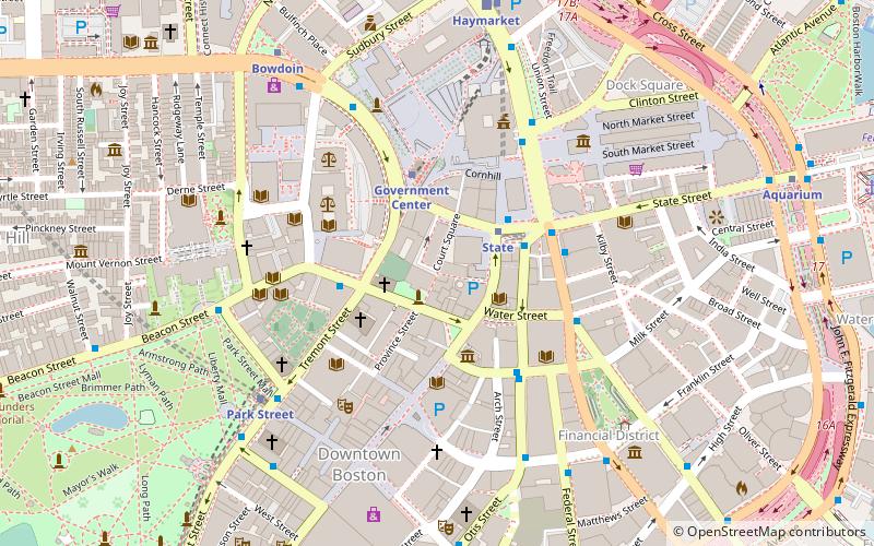
Map

Facts and practical information
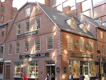
Pi Alley in Boston, Massachusetts, is located off Washington Street, near the Old City Hall on School Street. The origin of the short street's name remains in question. It may be named after the pied type which newspaper composing rooms dumped into the alley in the past, or after the local restaurants that sold coffee and a piece of pie for a nickel. It is also known as Williams Court, Savage's Court, Peck's Arch, and Webster's Arch. ()
Coordinates: 42°21'30"N, 71°3'32"W
Address
Downtown BostonBoston
ContactAdd
Social media
Add
Day trips
Pi Alley – popular in the area (distance from the attraction)
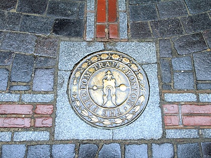
Nearby attractions include: Old State House, Freedom Trail, Downtown Crossing, Government Center.
Frequently Asked Questions (FAQ)
Which popular attractions are close to Pi Alley?
Nearby attractions include Old City Hall, Boston (1 min walk), King's Chapel, Boston (2 min walk), One Boston Place, Boston (2 min walk), King's Chapel Burying Ground, Boston (2 min walk).
How to get to Pi Alley by public transport?
The nearest stations to Pi Alley:
Metro
Light rail
Bus
Train
Metro
- State • Lines: Blue, Orange (2 min walk)
- Government Center • Lines: Blue (3 min walk)
Light rail
- Government Center • Lines: C, D, E (3 min walk)
- Park Street • Lines: B, C, D, E (6 min walk)
Bus
- Federal St @ Franklin St • Lines: 504 (7 min walk)
- Tremont St opp Temple Pl • Lines: 55 (7 min walk)
Train
- Boston South Station (13 min walk)
- Boston North Station (15 min walk)

 MBTA Subway
