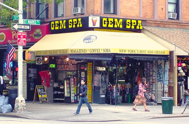
St. Marks Place, New York City

Gallery (6)
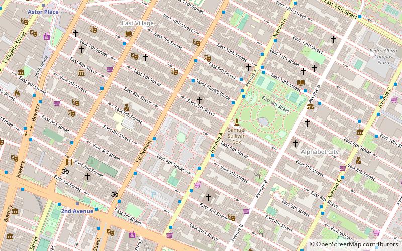
Map

Map

Gallery
Facts and practical information
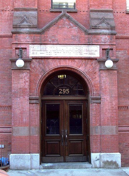
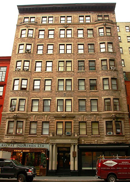
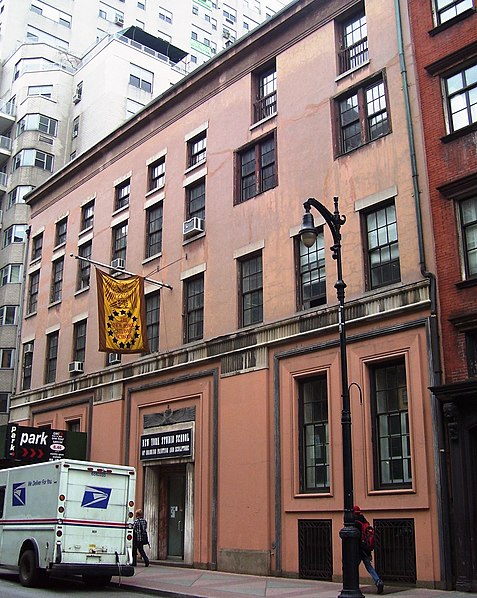
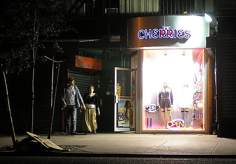
8th Street is a street in the New York City borough of Manhattan that runs from Sixth Avenue to Third Avenue, and also from Avenue B to Avenue D; its addresses switch from West to East as it crosses Fifth Avenue. Between Third Avenue and Avenue A, it is named St. Mark's Place, after the nearby St. Mark's Church in-the-Bowery on 10th Street at Second Avenue. ()
Getting there by public transportation
Public transportation stops near this location
- Metro
- Bus
 Metro
Metro
- Calculate route1st Avenue & East 9th Street 4 min walk
- Calculate routeSaint Marks Place & 1st Avenue 4 min walk
- Calculate route4th Avenue & East 9th Street 6 min walk
- Calculate routeEast 8th Street & Lafayette Street 7 min walk
- Calculate routeAstor Place 7 min walk
- Calculate route3rd Avenue 8 min walk
- Calculate route8th Street–New York University 9 min walk
Maps SubwayMaps
 Manhattan Buses
SubwayMapsManhattan BusesDay trips


Frequently Asked Questions (FAQ)
Which popular attractions are close to St. Marks Place?
Nearby attractions include East Village, New York City (2 min walk), Middle Collegiate Church, New York City (2 min walk), Museum of the American Gangster, New York City (2 min walk), Ottendorfer Public Library and Stuyvesant Polyclinic Hospital, New York City (3 min walk).
How to get to St. Marks Place by public transport?
The nearest stations to St. Marks Place:
Bus
Metro
Bus
- 1st Avenue & East 9th Street • Lines: M15 (4 min walk)
- Saint Marks Place & 1st Avenue • Lines: M8 (4 min walk)
Metro
- Astor Place • Lines: <6>, 4, 6 (7 min walk)
- 3rd Avenue • Lines: L (8 min walk)