Carville, San Francisco
Map
Facts and practical information
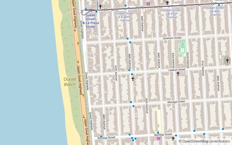
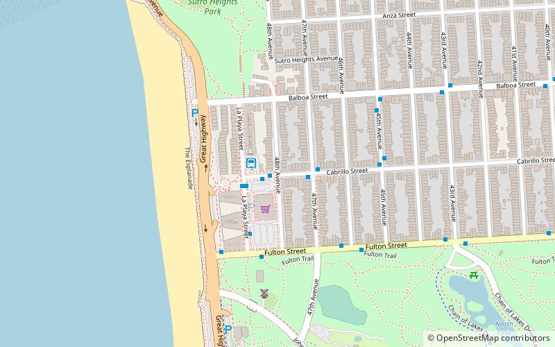
Carville, also known Carville-by-the-Sea, was an impromptu neighborhood in the late 19th and early 20th centuries in what is now the Outer Sunset District of San Francisco, California. Residents reused abandoned horsecars and, later, cable cars for housing and public buildings. Carville was located near the intersection of 47th Ave. and Lawton Streets, just south of the western end of Golden Gate Park. ()
Coordinates: 37°45'24"N, 122°30'24"W
Address
Southwest San Francisco (Outer Sunset)San Francisco
ContactAdd
Social media
Add
Getting there by public transportation
Public transportation stops near this location
- Bus
- Light rail
- Train
 Bus
Bus
- Calculate routeJudah Street & 46th Avenue 7 min walk
- Calculate routeJudah Street & 48th Avenue 7 min walk
- Calculate routeNoriega Street & 46th Avenue 7 min walk
- Calculate routeJudah Street & La Playa Street 7 min walk
- Calculate routeTaraval Street & Sunset Boulevard 31 min walk
Maps Muni Metro
Muni MetroDay trips


Frequently Asked Questions (FAQ)
Which popular attractions are close to Carville?
Nearby attractions include Ocean Beach, San Francisco (5 min walk), Holy Name of Jesus Church, San Francisco (13 min walk), Murphy Windmill, San Francisco (13 min walk), San Francisco Public Library - Ortega Branch, San Francisco (16 min walk).
How to get to Carville by public transport?
The nearest stations to Carville:
Light rail
Bus
Train
Light rail
- Judah Street & 46th Avenue • Lines: N (7 min walk)
Bus
- Judah Street & 48th Avenue • Lines: N-Owl (7 min walk)
- Noriega Street & 46th Avenue • Lines: 7 (7 min walk)
Train
- Judah Street & La Playa Street (7 min walk)
- Taraval Street & Sunset Boulevard (31 min walk)