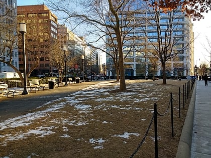
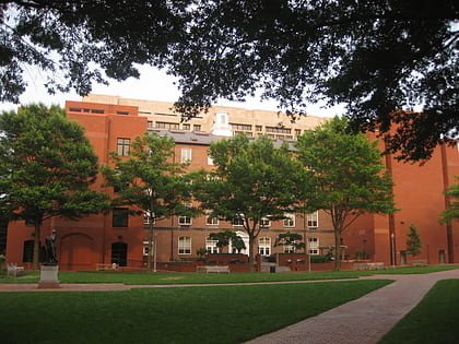
Thaddeus Stevens School, Washington D.C.
Map
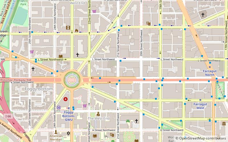
Map

Facts and practical information
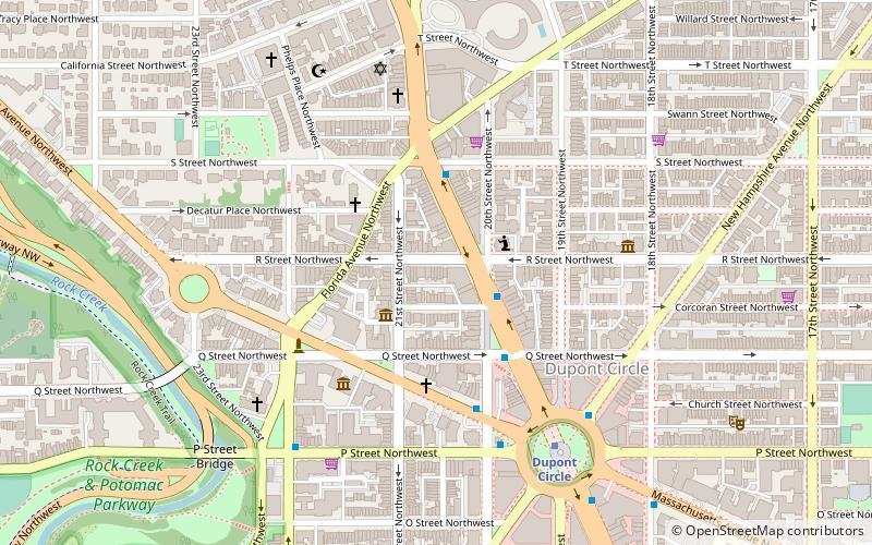
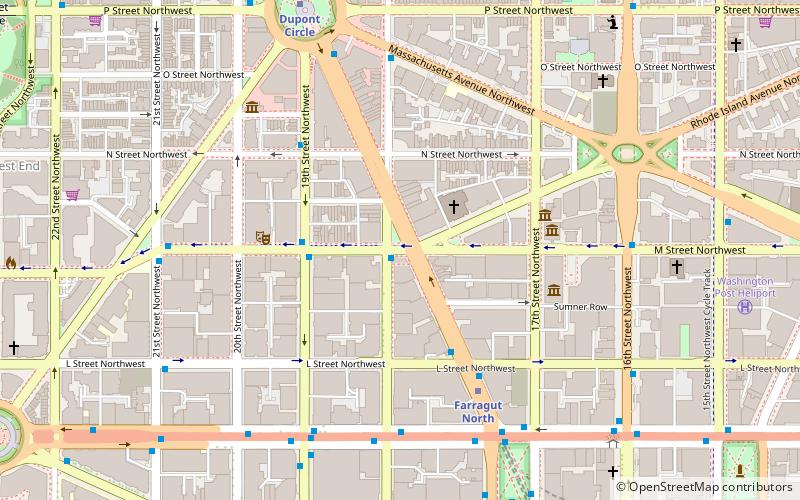
The Thaddeus Stevens School is a historic African American school building located at 1050 21st Street, N.W. in the West End neighborhood of Washington, D.C. It houses classrooms for the nearby and also as an early childhood center. ()
Coordinates: 38°54'11"N, 77°2'49"W
Address
Northwest Washington (Dupont Circle)Washington D.C.
ContactAdd
Social media
Add
Day trips
Thaddeus Stevens School – popular in the area (distance from the attraction)
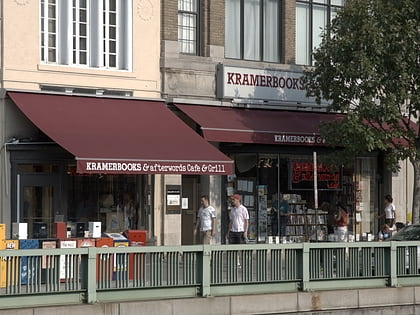
Nearby attractions include: Kramers, Marsha Mateyka Gallery, M Street, Washington Circle.
Frequently Asked Questions (FAQ)
Which popular attractions are close to Thaddeus Stevens School?
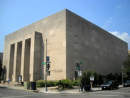
Nearby attractions include George Washington University, Washington D.C. (2 min walk), Davita Gwu-K St, Washington D.C. (4 min walk), George Washington University Art Galleries, Washington D.C. (5 min walk), Washington Circle, Washington D.C. (5 min walk).
How to get to Thaddeus Stevens School by public transport?
The nearest stations to Thaddeus Stevens School:
Bus
Metro
Bus
- MTA Bus Stop • Lines: 305, 315 (5 min walk)
- 21st St & F St Northwest (11 min walk)
Metro
- Foggy Bottom–GWU • Lines: Bl, Or, Sv (7 min walk)
- Farragut West • Lines: Bl, Or, Sv (10 min walk)

