Jamaicaway, Boston
Map
Map

Facts and practical information
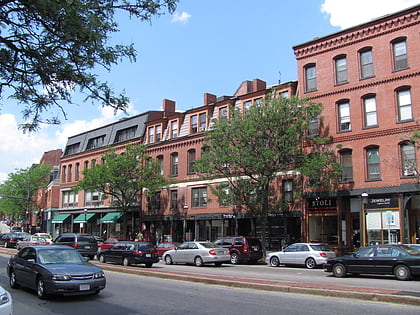
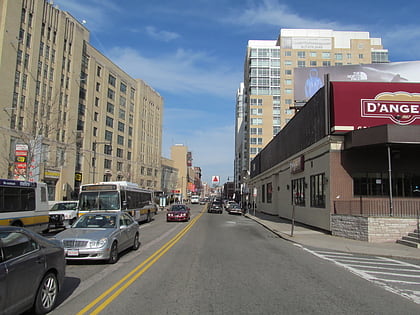
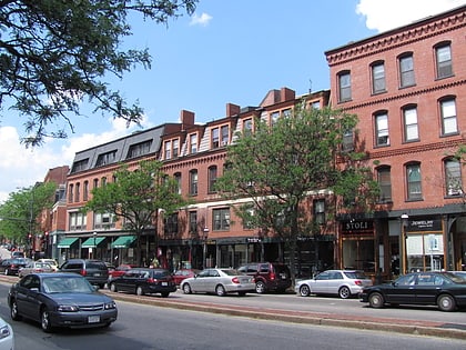
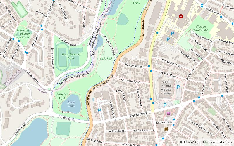
Jamaicaway is a four-lane, undivided parkway in the Jamaica Plain neighborhood of Boston, Massachusetts near the border of Brookline. ()
Coordinates: 42°19'25"N, 71°6'53"W
Address
Jamaica Plain (Jamaica Hills - Pond)Boston
ContactAdd
Social media
Add
Day trips
Jamaicaway – popular in the area (distance from the attraction)
Nearby attractions include: Jamaica Pond, Olmsted Park, Brookline Village, Sargent's Pond.
Frequently Asked Questions (FAQ)
Which popular attractions are close to Jamaicaway?
Nearby attractions include Olmsted Park, Boston (4 min walk), Emerald Necklace, Boston (5 min walk), Pill Hill Historic District, Boston (11 min walk), Hotel Kempsford, Boston (14 min walk).
How to get to Jamaicaway by public transport?
The nearest stations to Jamaicaway:
Light rail
Metro
Bus
Light rail
- Heath Street • Lines: E (11 min walk)
- Back of the Hill • Lines: E (12 min walk)
Metro
- Stony Brook • Lines: Orange (18 min walk)
- Jackson Square • Lines: Orange (19 min walk)
Bus
- Longwood Ave @ Blackfan St • Lines: 8 (28 min walk)
- Ave Louis Pasteur @ Longwood Ave • Lines: 8 (31 min walk)

 MBTA Subway

