Queen Anne Boulevard, Seattle
Map
Gallery
Facts and practical information
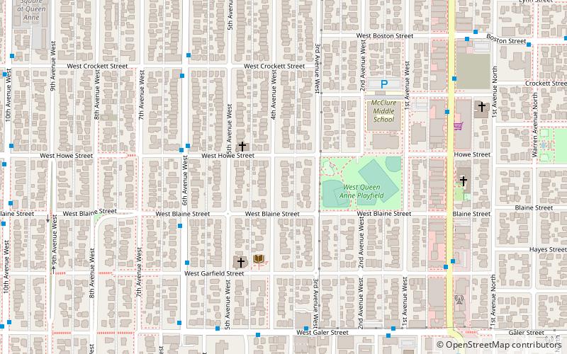
Queen Anne Boulevard is a 6.0-kilometre loop atop Seattle, Washington's Queen Anne Hill. It is a City of Seattle landmark. Authorized in 1907 and built from 1911 to 1916, it incorporates parts of 5th, 7th, 8th and 10th Avenues West; Bigelow Avenue North; West Blaine, McGraw, Wheeler, Fulton and Raye Streets; Smith, McGraw, and Wheeler Streets; West Highland Drive; and West McGraw and McGraw Places. ()
Elevation: 410 ft a.s.l.Coordinates: 47°38'8"N, 122°21'43"W
Day trips
Queen Anne Boulevard – popular in the area (distance from the attraction)
Nearby attractions include: Seattle Center, Climate Pledge Arena, Kerry Park, Memorial Stadium.
Frequently Asked Questions (FAQ)
Which popular attractions are close to Queen Anne Boulevard?
Nearby attractions include Queen Anne, Seattle (4 min walk), Kerry Park, Seattle (12 min walk), Parsons Gardens, Seattle (12 min walk), Marshall Park, Seattle (13 min walk).
How to get to Queen Anne Boulevard by public transport?
The nearest stations to Queen Anne Boulevard:
Bus
Train
Tram
Bus
- 6th Ave W & W Howe St • Lines: 2, 29 (4 min walk)
Train
- Seattle Center (29 min walk)
Tram
- Westlake & Mercer • Lines: South Lake Union Streetcar (35 min walk)
- Terry & Thomas • Lines: South Lake Union Streetcar (39 min walk)

