San Gabriel Wilderness
#5694 among destinations in the United States

Facts and practical information
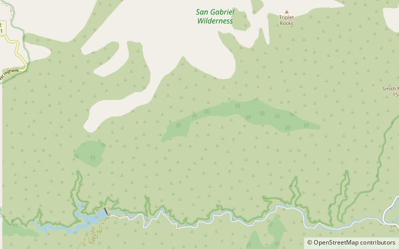
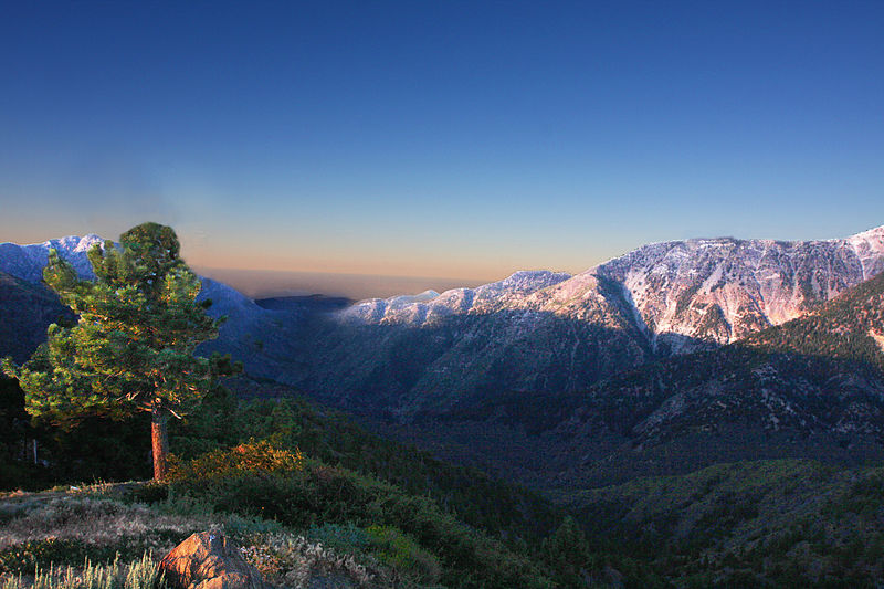
The San Gabriel Wilderness is a wilderness area created in 1968 of more than 36,118 acres within the Angeles National Forest and San Gabriel Mountains National Monument. ()
CaliforniaUnited States
San Gabriel Wilderness plan & book
Unleash the traveler in you — discover the cheapest flight deals, find the perfect hotel or hostel nearby, and search for the best car rental prices. Travel at your own pace to discover new places and enjoy your journey.
San Gabriel Wilderness – popular in the area (distance from the attraction)
Nearby attractions include: Silver Moccasin Trail, Vetter Mountain, Mount Islip, Crystal Lake Recreation Area.
 Hiking, Hiking trail
Silver Moccasin Trail, San Gabriel Mountains National Monument
130 min walk • The Silver Moccasin Trail is a 53-mile trail located in the San Gabriel Mountains, northeast of Los Angeles. It begins at Chantry Flat Recreation Area above the city of Arcadia, California, traversing upward and down through several canyons and along the high ridges of the Angeles National Forest. This trail connects Mt.
 Nature, Natural attraction, Mountain
Vetter Mountain, San Gabriel Mountains National Monument
148 min walk • Vetter Mountain is located in the San Gabriel Mountains and within the Angeles National Forest, Los Angeles County, California. Elevation 5,911 feet feet. Named by USFS surveyor Don McLain for Victor P. Vetter, a dedicated forest ranger and fire dispatcher. Vetter won the USFS Bissell Medal for outstanding work in forest conservation.
 Nature, Natural attraction, Mountain
Mount Islip, San Gabriel Mountains National Monument
190 min walk • Mount Islip is a 8,250-foot peak in the Angeles National Forest in California, United States. On a clear day the sharp, high peak provides impressive views of the Mojave Desert, the Los Angeles Basin, Santa Catalina Island, and San Clemente Island.
 Lake, Park
Crystal Lake Recreation Area, San Gabriel Mountains National Monument
170 min walk • The Crystal Lake Recreation Area is located in the San Gabriel Mountains of Southern California, administered by the San Gabriel Mountains National Monument of the United States Forest Service.
 Nature, Natural attraction, Mountain
Chantry Flat, Angeles National Forest
184 min walk • Chantry Flat is a designated "Recreation Area" within the Angeles National Forest, about three miles into Big Santa Anita Canyon, and is closely associated with the towns of Arcadia and Sierra Madre, CA.
 Dam
DamCogswell Dam, San Gabriel Mountains National Monument
64 min walk • Cogswell Dam is a rockfill dam on the West Fork of the San Gabriel River in Los Angeles County, California. It is located in the San Gabriel Mountains, northeast of Mount Wilson, and within the Angeles National Forest.
 Observatories and planetariums
Stony Ridge Observatory, San Gabriel Mountains National Monument
110 min walk • Stony Ridge Observatory is an astronomical observatory built by and for amateur astronomers in the mountains of Los Angeles County, California, in 1957.
 Dam
DamSan Gabriel Dam, San Gabriel Mountains National Monument
153 min walk • San Gabriel Dam is a rock-fill dam on the San Gabriel River in Los Angeles County, California, within the Angeles National Forest.
 Nature, Natural attraction, Mountain
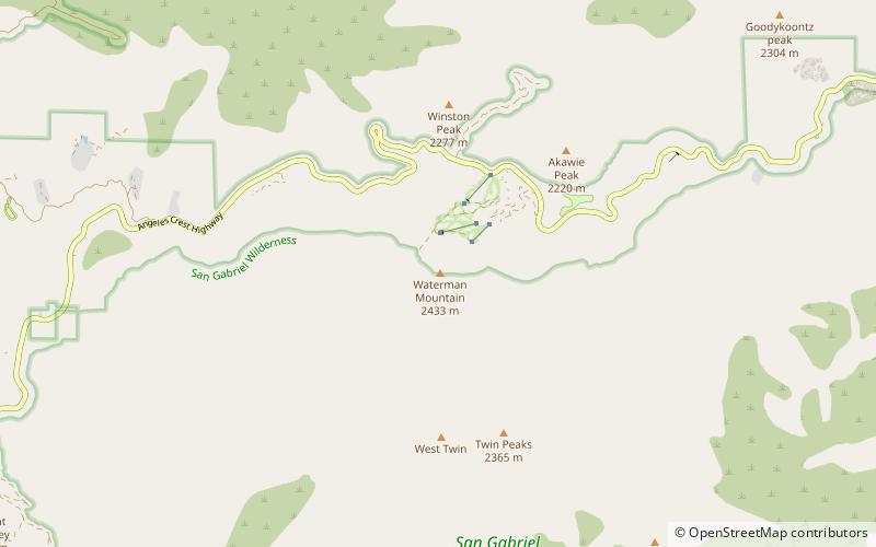
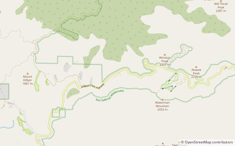
Waterman Mountain, San Gabriel Mountains National Monument
118 min walk • Waterman Mountain, at 8,041 feet, is a prominent peak in the San Gabriel Mountains of Los Angeles County, California, within the Angeles National Forest and San Gabriel Mountains National Monument.
 Nature, Mountain
Angeles Crest Highway, Angeles National Forest
148 min walk • The Angeles Crest Highway is a two-lane highway over the San Gabriel Mountains, in Los Angeles County, California. Its route is to/through the San Gabriel Mountains National Monument and the Angeles National Forest.
 Sport venue, Sport
Mount Waterman, San Gabriel Mountains National Monument
137 min walk • Mount Waterman is a ski area on Waterman Mountain in the San Gabriel Mountains of the Angeles National Forest in Los Angeles County, California. The area is located on California State Route 2, the Angeles Crest Highway, and reaches a height of 8,030 ft with an overall vertical drop of 1,030 ft.


