Short Line Bridge, Minneapolis
Map
Gallery
Facts and practical information
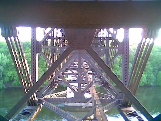
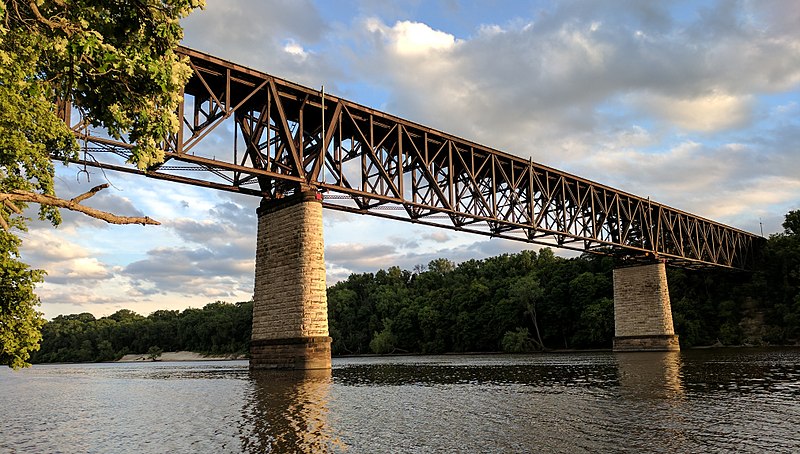
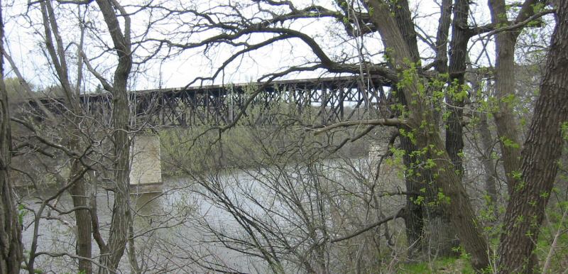
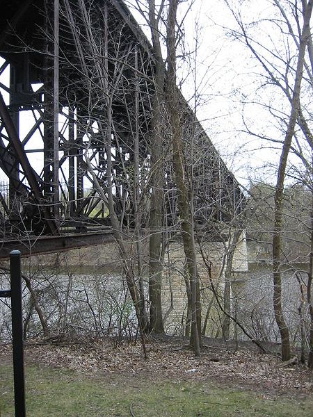
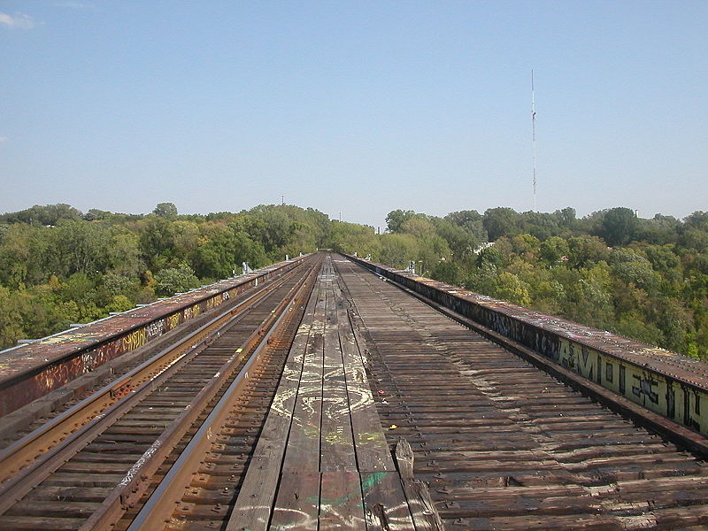
The Short Line Bridge is a truss bridge that spans the Mississippi River in Minneapolis, Minnesota, United States. It was originally built in the 1880s and upgraded a few years later by Chicago, Milwaukee, St. Paul and Pacific Railroad and was designed by American Bridge Company. ()
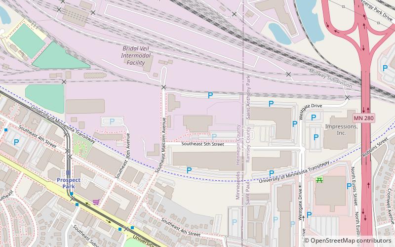
Opened: 1880 (146 years ago)Length: 1164 ftWidth: 22 ftHeight: 134 ftCoordinates: 44°57'23"N, 93°12'45"W
Address
University (Prospect Park)Minneapolis
ContactAdd
Social media
Add
Day trips
Short Line Bridge – popular in the area (distance from the attraction)
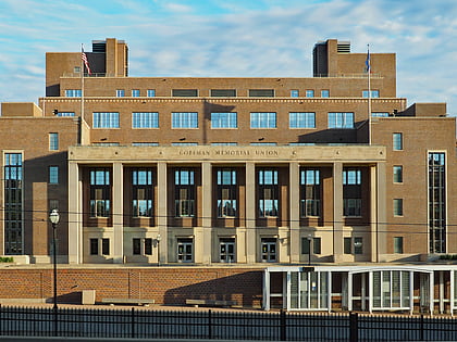
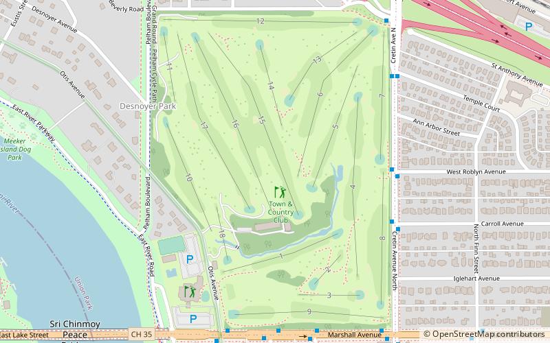
Nearby attractions include: Weisman Art Museum, Coffman Memorial Union, Winchell Trail, Town & Country Club.
Frequently Asked Questions (FAQ)
Which popular attractions are close to Short Line Bridge?
Nearby attractions include Franklin Avenue Bridge, Minneapolis (19 min walk), Lake Street-Marshall Bridge, Minneapolis (21 min walk), Prospect Park Water Tower, Minneapolis (22 min walk), Tower Hill Park, Minneapolis (22 min walk).
How to get to Short Line Bridge by public transport?
The nearest stations to Short Line Bridge:
Bus
Light rail
Bus
- Seymour Av • Lines: 67, 67C (15 min walk)
- Arthur Av • Lines: 67 (15 min walk)
Light rail
- Westgate • Lines: 902 (21 min walk)
- Raymond Avenue • Lines: 902 (25 min walk)


