South Seattle College Arboretum, Seattle
Map
Facts and practical information
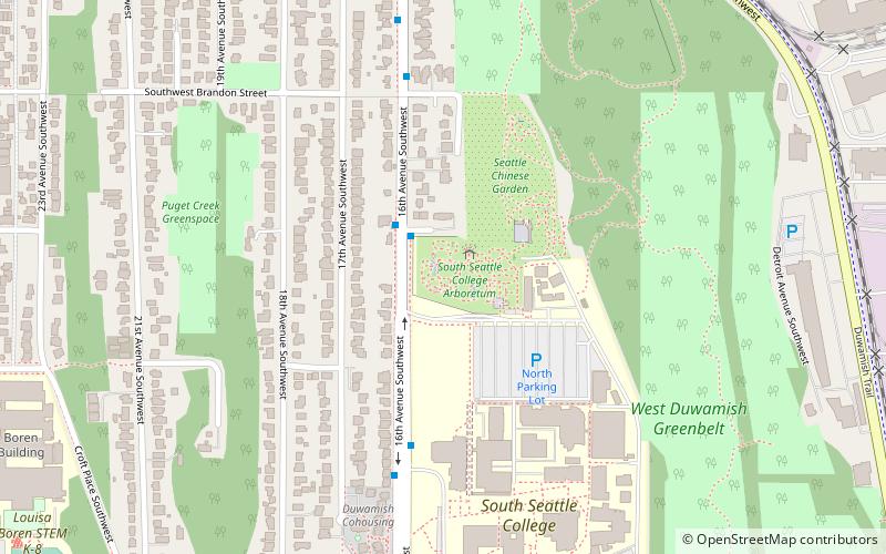
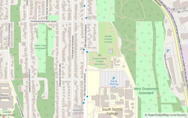
The South Seattle College Arboretum is a 6-acre arboretum and botanical garden located at the north end of the South Seattle College campus in Seattle, Washington. It is open daily without charge. The Seattle Chinese Garden is adjacent. ()
Elevation: 308 ft a.s.l.Coordinates: 47°33'5"N, 122°21'14"W
Getting there by public transportation
Public transportation stops near this location
- Bus
 Bus
Bus
- Calculate route16th Ave SW & SW Findlay St 2 min walk
- Calculate routeSsc North Entrance 5 min walk
- Calculate routeSouth Seattle College 8 min walk
Day trips


Frequently Asked Questions (FAQ)
Which popular attractions are close to South Seattle College Arboretum?
Nearby attractions include Seattle Chinese Garden, Seattle (1 min walk), Puget Park, Seattle (16 min walk).
How to get to South Seattle College Arboretum by public transport?
The nearest stations to South Seattle College Arboretum:
Bus
Bus
- 16th Ave SW & SW Findlay St • Lines: 125 (2 min walk)
- Ssc North Entrance • Lines: 125 (5 min walk)