Puget Park, Seattle
Map
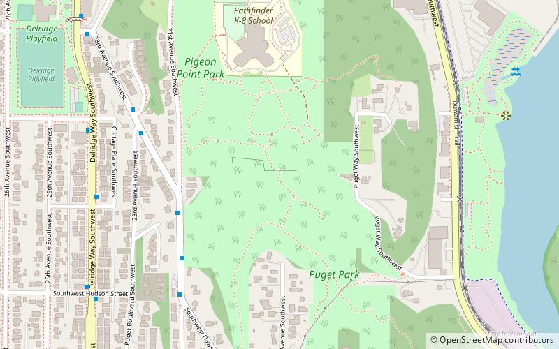
Map

Facts and practical information
Puget Park is a part of the West Duwamish Greenbelt east of West Seattle. The Greenbelt encompasses the forest on the eastern slopes of West Seattle. ()
Elevation: 154 ft a.s.l.Coordinates: 47°33'36"N, 122°21'26"W
Address
West Seattle (Delridge)Seattle
ContactAdd
Social media
Add
Day trips
Puget Park – popular in the area (distance from the attraction)
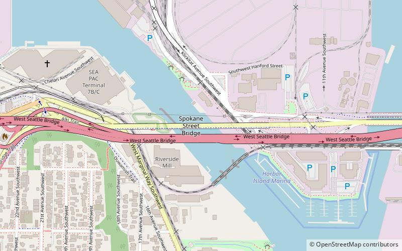
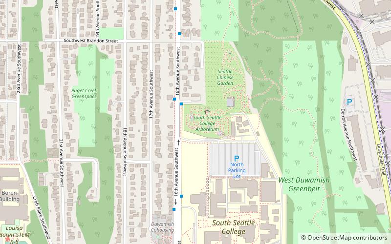
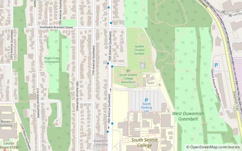
Nearby attractions include: Spokane Street Bridge, West Seattle Bridge collision, West Seattle Bridge, South Seattle College Arboretum.
Frequently Asked Questions (FAQ)
Which popular attractions are close to Puget Park?
Nearby attractions include Elliot Bay Petroglyphs, Seattle (13 min walk), Seattle Chinese Garden, Seattle (16 min walk), South Seattle College Arboretum, Seattle (16 min walk), West Seattle Bridge, Seattle (21 min walk).
How to get to Puget Park by public transport?
The nearest stations to Puget Park:
Bus
Bus
- 21st Ave SW & 22nd Ave SW • Lines: 125 (5 min walk)
- 22nd Ave SW & 23rd Ave SW • Lines: 125 (6 min walk)


