Elliot Bay Petroglyphs, Seattle
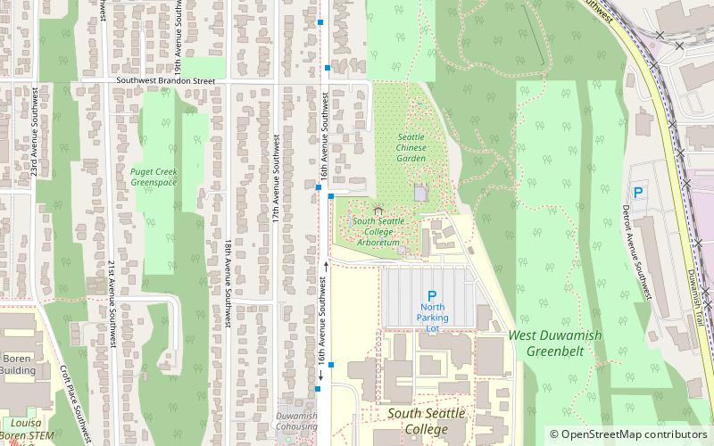
Map
Facts and practical information
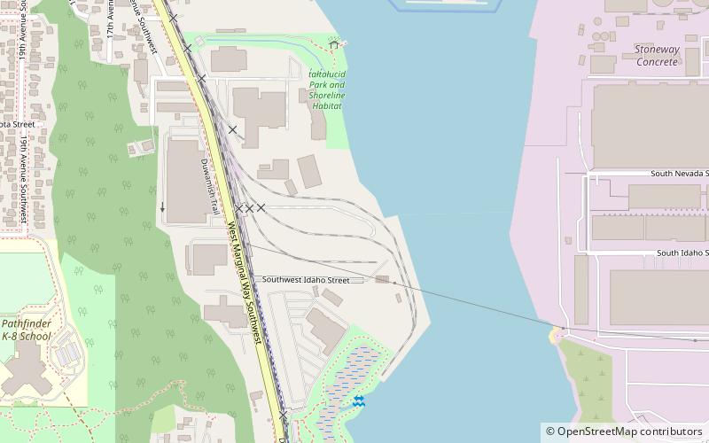
The Elliot Bay Petroglyphs, also known as 45KI23, are petroglyphs created before recorded times by the Duwamish people in present-day Seattle. According to various archaeological reports, the petroglyphs "at the southern end of Elliott Bay near the mouth of the Duwamish River", today in Seattle's Industrial District, may have been buried or stolen when the Duwamish estuary and tidal flats were developed and filled during settlement of the city. Richard McClure, a researcher from The Evergreen State College described the inscriptions as "pecked figures of a zoomorphic nature". ()
Coordinates: 47°33'54"N, 122°20'60"W
Address
West SeattleSeattle
ContactAdd
Social media
Add
Getting there by public transportation
Public transportation stops near this location
- Bus
- Light rail
 Bus
Bus
- Calculate routeEast Marginal Way S & S Idaho St 13 min walk
- Calculate route22nd Ave SW & 23rd Ave SW 16 min walk
- Calculate routeSodo 40 min walk
Day trips


Frequently Asked Questions (FAQ)
Which popular attractions are close to Elliot Bay Petroglyphs?
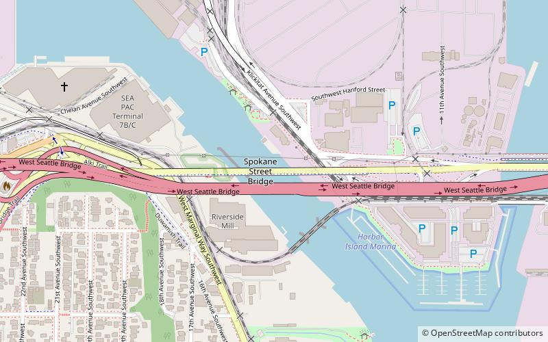
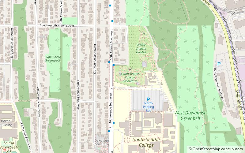
Nearby attractions include West Seattle Bridge, Seattle (11 min walk), West Seattle Bridge collision, Seattle (12 min walk), Spokane Street Bridge, Seattle (13 min walk), Puget Park, Seattle (13 min walk).
How to get to Elliot Bay Petroglyphs by public transport?
The nearest stations to Elliot Bay Petroglyphs:
Bus
Light rail
Bus
- East Marginal Way S & S Idaho St • Lines: 113, 121, 122, 123 (13 min walk)
- 22nd Ave SW & 23rd Ave SW • Lines: 125 (16 min walk)
Light rail
- Sodo • Lines: 1 (40 min walk)