Park View Historic District, Portsmouth
Map

Map

Facts and practical information
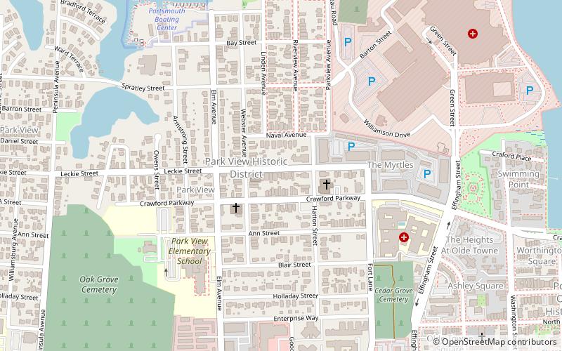
Park View Historic District is a national historic district located at Portsmouth, Virginia. It encompasses 295 contributing buildings in a primarily residential section of northeast Portsmouth. It was developed in the late-19th and early-20th centuries, and includes notable examples of Queen Anne, Colonial Revival, and American Foursquare style single family residences. ()
Coordinates: 36°50'31"N, 76°18'40"W
Address
Park ViewPortsmouth
ContactAdd
Social media
Add
Day trips
Park View Historic District – popular in the area (distance from the attraction)
Nearby attractions include: Waterside, USS Wisconsin, Nauticus, Hampton Roads Naval Museum.
Frequently Asked Questions (FAQ)
Which popular attractions are close to Park View Historic District?
Nearby attractions include East Radford Historic District, Portsmouth (1 min walk), Cedar Grove Cemetery, Portsmouth (8 min walk), Downtown Portsmouth Historic District, Portsmouth (14 min walk), Portsmouth Olde Towne Historic District, Portsmouth (15 min walk).
How to get to Park View Historic District by public transport?
The nearest stations to Park View Historic District:
Ferry
Light rail
Ferry
- North Landing • Lines: Elizabeth River Ferry (22 min walk)
- High Street • Lines: Elizabeth River Ferry (25 min walk)
Light rail
- EVMC/Fort Norfolk • Lines: Tide (32 min walk)
- MacArthur Square • Lines: Tide (32 min walk)


