Catherineberg Sugar Mill Ruins, Saint John

Gallery (4)
Map

Map
Gallery
Facts and practical information
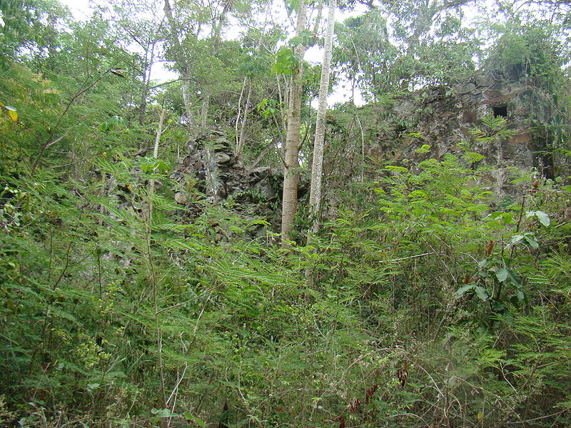
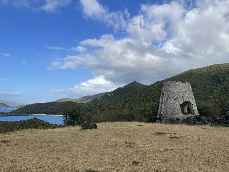
Catherineberg Sugar Mill Ruins is an historic site located in the Virgin Islands National Park, east of Cruz Bay on Saint John, U.S. Virgin Islands. The ruins are an example of an 18th-century sugar and rum factory. ()
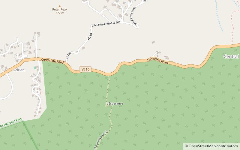
Coordinates: 18°20'48"N, 64°45'41"W
Address
Saint John
ContactAdd
Social media
Add
Day trips


Frequently Asked Questions (FAQ)
Which popular attractions are close to Catherineberg Sugar Mill Ruins?
Nearby attractions include L'Esperance Historic District, Saint John (9 min walk), Cinnamon Bay Plantation, Saint John (17 min walk), Cinnamon Cay, Virgin Islands National Park (19 min walk), Trunk Cay, Virgin Islands National Park (20 min walk).