Slob Historic District, Saint Croix
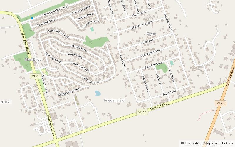
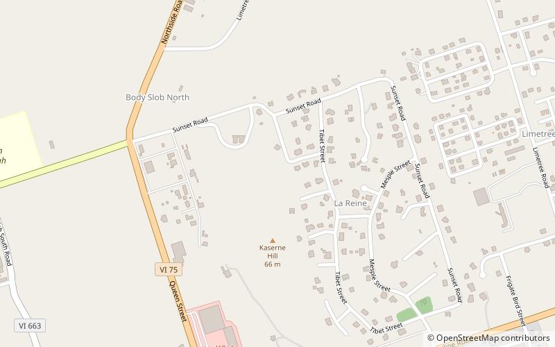
Map
Facts and practical information
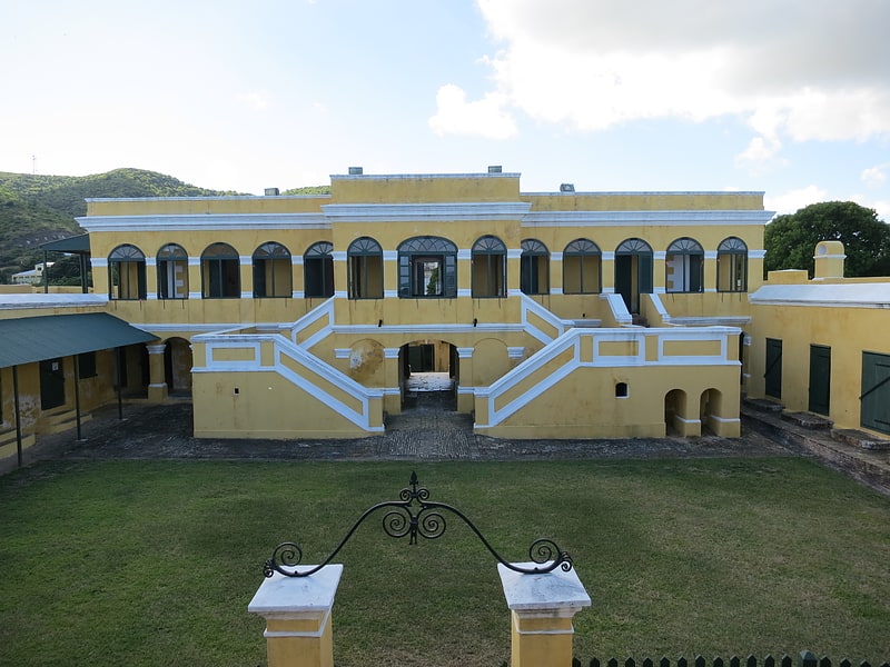
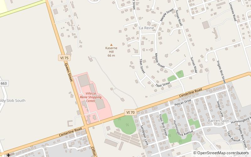
Slob Historic District, near Christiansted, Virgin Islands, is a historic district which was listed on the National Register of Historic Places in 1987. The listing included nine contributing buildings, three contributing structures, and a contributing site on 9 acres. ()
Coordinates: 17°43'54"N, 64°46'16"W
Address
Saint Croix
ContactAdd
Social media
Add
Day trips
Slob Historic District – popular in the area (distance from the attraction)
Nearby attractions include: Christiansted National Historic Site, Friedensfeld Midlands Moravian Church and Manse, Salt River Bay National Historical Park and Ecological Preserve, Danish West India and Guinea Company Warehouse.