Ramgoat Cay, Virgin Islands National Park
Map
Facts and practical information
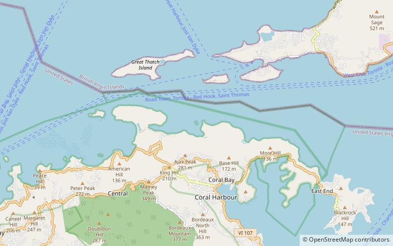
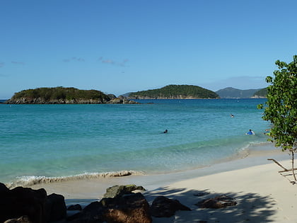
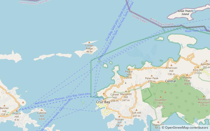
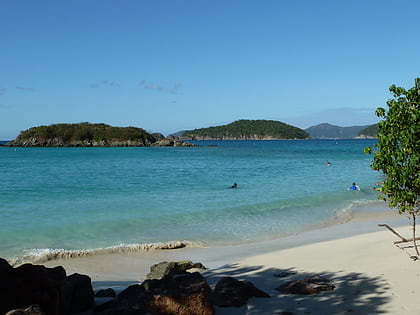
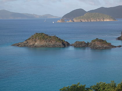
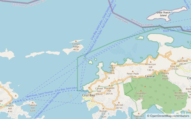
Ramgoat Cay is an islet in the United States Virgin Islands, located 310 yards northeast of Henley Cay and 1300 feet north of Hawksnest Point on the island of Saint John. It is 30 feet high and located within the Virgin Islands National Park. ()
Coordinates: 18°21'19"N, 64°47'22"W
Address
Virgin Islands National Park
ContactAdd
Social media
Add
Day trips
Ramgoat Cay – popular in the area (distance from the attraction)
Nearby attractions include: Dennis Bay Historic District, Mary Point Estate, Cinnamon Bay Plantation, Waterlemon Cay.
