Bắc Từ Liêm District, Hanoi
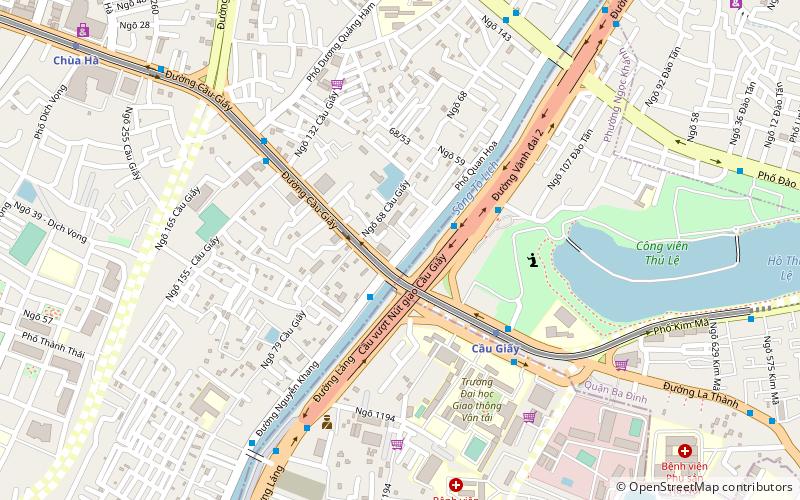
Map
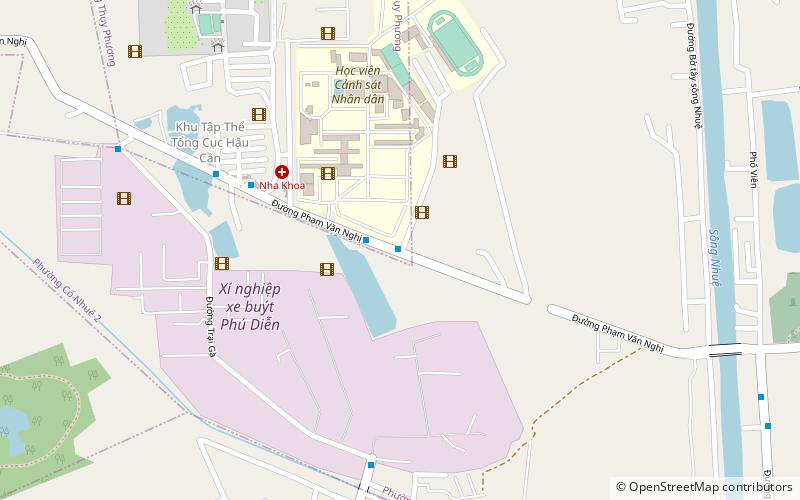
Map

Facts and practical information
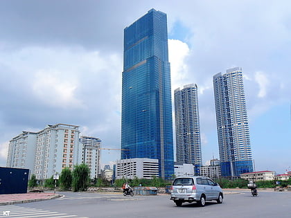
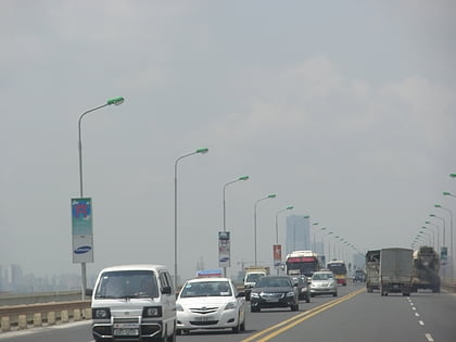
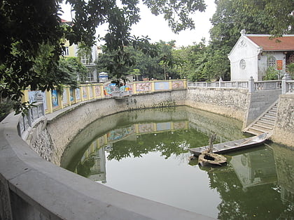
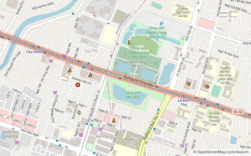
Bắc Từ Liêm is an urban district of Hanoi, the capital city of Vietnam. It was formed on 27 December 2013, when the rural Từ Liêm district was split into two urban districts: Bắc Từ Liêm and Nam Từ Liêm. The district currently has 13 wards, covering a total area of 45.32 square kilometers. As of 2019, there were 335,110 people residing in the district, the population density is 7400 inhabitants per square kilometer. ()
Address
Hanoi
ContactAdd
Social media
Add
Day trips
Bắc Từ Liêm District – popular in the area (distance from the attraction)
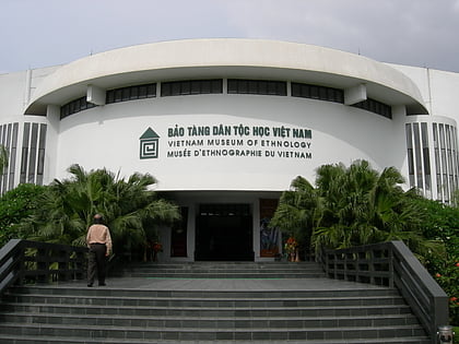
Nearby attractions include: Vietnam Museum of Ethnology, Lotte Center Hanoi, West Lake, Công viên Nước Hồ Tây.
Frequently Asked Questions (FAQ)
How to get to Bắc Từ Liêm District by public transport?
The nearest stations to Bắc Từ Liêm District:
Bus
Train
Bus
- Giữa nhà 54-56 Phạm Văn Nghị • Lines: 13 (1 min walk)
- Qua ngã ba vào thôn Trù 2 • Lines: 13 (6 min walk)
Train
- Ga Phú Diễn (22 min walk)

