Tarban Creek Bridge, Sydney
Map

Gallery

Facts and practical information
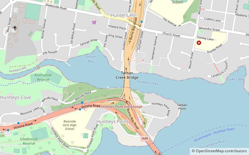
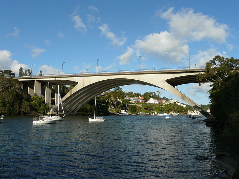
The Tarban Creek Bridge is a prestressed concrete arch bridge that carries the Burns Bay Road across the Tarban Creek, located west of the Sydney central business district in New South Wales, Australia. The bridge is situated between the Gladesville Bridge and the Fig Tree Bridge, being immediately to the north of Gladesville Bridge. The bridge connects the suburbs of Hunters Hill and Huntleys Point. In addition to the four-lane carriage, the bridge carries a grade-separated shared pedestrian footpath and cycleway. ()
Opened: December 1965 (60 years ago)Height: 67 ftCoordinates: 33°50'14"S, 151°8'42"E
Day trips
Tarban Creek Bridge – popular in the area (distance from the attraction)
Nearby attractions include: Carisbrook, Kellys Bush Park, Gladesville Bridge, Fig Tree Bridge.
Frequently Asked Questions (FAQ)
Which popular attractions are close to Tarban Creek Bridge?
Nearby attractions include Gladesville Bridge, Sydney (10 min walk), Fig Tree Bridge, Sydney (13 min walk), The Chalet, Sydney (14 min walk), Milthorpe, Sydney (23 min walk).
How to get to Tarban Creek Bridge by public transport?
The nearest stations to Tarban Creek Bridge:
Ferry
Bus
Ferry
- Huntleys Point • Lines: F3 (10 min walk)
- Chiswick • Lines: F3 (16 min walk)
Bus
- Henley - Crown St • Lines: M52 (13 min walk)
- Drummoyne - Lyons Rd • Lines: M52 (28 min walk)

 Sydney Trains
 Sydney Light Rail
 Sydney Ferries


