Fig Tree Bridge, Sydney
Map

Map

Facts and practical information
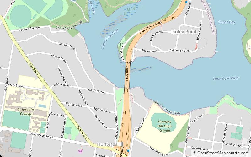
The Fig Tree Bridge is a road bridge that carries Burns Bay Road across the Lane Cove River, and connects the suburbs of Hunters Hill in the south and Linley Point in the north, located approximately seven kilometres northwest of the central business district of Sydney in New South Wales, Australia. The concrete girder bridge carries motor vehicles, and a grade-separated footpath and cycleway. ()
Completed: September 1963 (62 years ago)Coordinates: 33°49'48"S, 151°8'46"E
Address
Burns Bay RoadSydney
ContactAdd
Social media
Add
Day trips
Fig Tree Bridge – popular in the area (distance from the attraction)
Nearby attractions include: Carisbrook, Kellys Bush Park, Gladesville Bridge, Boronia Park.
Frequently Asked Questions (FAQ)
Which popular attractions are close to Fig Tree Bridge?
Nearby attractions include Boronia Park, Sydney (11 min walk), Tarban Creek Bridge, Sydney (13 min walk), Carisbrook, Sydney (14 min walk), The Chalet, Sydney (19 min walk).
How to get to Fig Tree Bridge by public transport?
The nearest stations to Fig Tree Bridge:
Ferry
Bus
Ferry
- Riverview College Wharf (15 min walk)
- Huntleys Point • Lines: F3 (23 min walk)
Bus
- Lane Cove West Terminus (22 min walk)
- Henley - Crown St • Lines: M52 (23 min walk)

 Sydney Trains
 Sydney Light Rail
 Sydney Ferries


