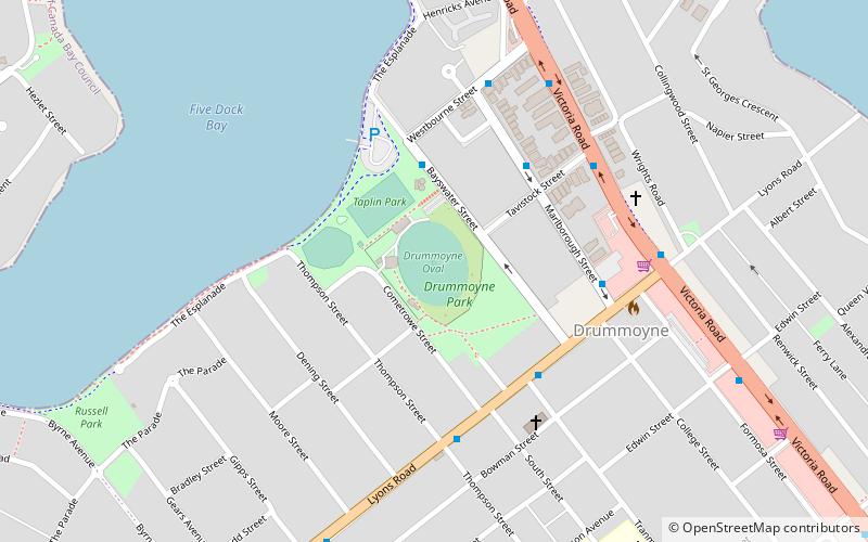
Drummoyne Oval, Sydney
Map

Map

Facts and practical information
Drummoyne Oval is a multi-use sports ground in the Sydney inner-west suburb of Drummoyne, New South Wales. The ground has been used for international women's cricket matches, domestic men's cricket matches and first grade rugby league as well as local Australian rules football and Rugby Union games. ()
Opened: 1931 (95 years ago)Capacity: 6000Elevation: 20 ft a.s.l.Coordinates: 33°51'4"S, 151°8'60"E
Address
LOT 7074 The EsplanadeInner West (Drummoyne)Sydney 2047
ContactAdd
Social media
Add
Day trips
Drummoyne Oval – popular in the area (distance from the attraction)
Nearby attractions include: Birkenhead Point Outlet Centre, Kellys Bush Park, Callan Park, Gladesville Bridge.
Frequently Asked Questions (FAQ)
Which popular attractions are close to Drummoyne Oval?
Nearby attractions include Drummoyne Reservoir, Sydney (9 min walk), Drummoyne, Sydney (10 min walk), Gladesville Bridge, Sydney (17 min walk), Iron Cove Bridge, Sydney (23 min walk).
How to get to Drummoyne Oval by public transport?
The nearest stations to Drummoyne Oval:
Bus
Ferry
Bus
- Drummoyne - Lyons Rd • Lines: M52 (7 min walk)
- Birkenhead Point • Lines: M52 (16 min walk)
Ferry
- Drummoyne Ferry Wharf • Lines: F3 (15 min walk)
- Chiswick • Lines: F3 (16 min walk)

 Sydney Trains
 Sydney Light Rail
 Sydney Ferries


