Kellys Bush Park, Sydney
Map

Map

Facts and practical information
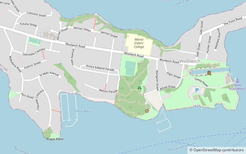
The Kellys Bush Park is a heritage-listed bushland, partly on the former site of smelting works, at Nelson Parade, Hunters Hill in the Municipality of Hunter's Hill local government area of New South Wales, Australia. It is also known as Weil Park and The Smelting Company. The property is owned by Department of Planning and Environment, a department of the Government of New South Wales. It was added to the New South Wales State Heritage Register on 2 April 1999. ()
Elevation: 135 ft a.s.l.Coordinates: 33°50'28"S, 151°9'59"E
Address
Hunter's Hill (Woolwich)Sydney
ContactAdd
Social media
Add
Day trips
Kellys Bush Park – popular in the area (distance from the attraction)
Nearby attractions include: Birkenhead Point Outlet Centre, Gladesville Bridge, Yurulbin Park, Dawn Fraser Swimming Pool.
Frequently Asked Questions (FAQ)
Which popular attractions are close to Kellys Bush Park?
Nearby attractions include Milthorpe, Sydney (13 min walk), Cockatoo Island, Sydney (14 min walk), Biloela House, Sydney (14 min walk), Cockatoo Island Industrial Conservation Area, Sydney (15 min walk).
How to get to Kellys Bush Park by public transport?
The nearest stations to Kellys Bush Park:
Ferry
Bus
Ferry
- Longueville Wharf (10 min walk)
- Hunters Hill Ferry Wharf (13 min walk)
Bus
- Drummoyne - Lyons Rd • Lines: M52 (25 min walk)
- Birkenhead Point • Lines: M52 (29 min walk)

 Sydney Trains
 Sydney Light Rail
 Sydney Ferries


