George Kendall Riverside Park, Sydney
Map
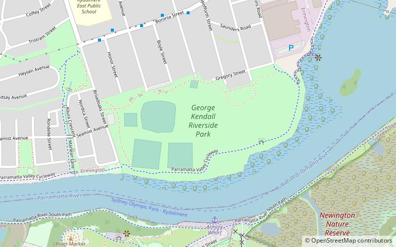
Map

Facts and practical information
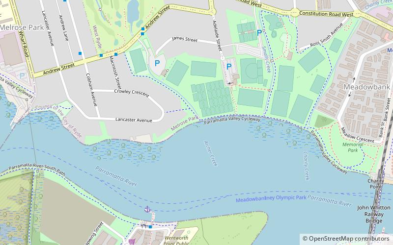
George Kendall Riverside Park is a 27.2 hectare recreational park in Ermington, New South Wales, on the northern bank of the Parramatta River. ()
Elevation: 26 ft a.s.l.Coordinates: 33°49'17"S, 151°3'47"E
Day trips
George Kendall Riverside Park – popular in the area (distance from the attraction)
Nearby attractions include: West Ryde, Archery, Silverwater Bridge, Bennelong Bridge.
Frequently Asked Questions (FAQ)
Which popular attractions are close to George Kendall Riverside Park?
Nearby attractions include Blaxland Riverside Park, Sydney (11 min walk), Silverwater Bridge, Sydney (19 min walk), Louise Sauvage Pathway, Sydney (21 min walk).
How to get to George Kendall Riverside Park by public transport?
The nearest stations to George Kendall Riverside Park:
Bus
Ferry
Bus
- Boronia St At Atkins Rd • Lines: 524 (10 min walk)
- Wentworth Street • Lines: M52 (16 min walk)
Ferry
- Sydney Olympic Park • Lines: F3 (24 min walk)
- Rydalmere Ferry Wharf • Lines: F3 (29 min walk)

 Sydney Trains
 Sydney Light Rail
 Sydney Ferries
