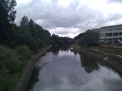
Blaxland Riverside Park, Sydney

Facts and practical information
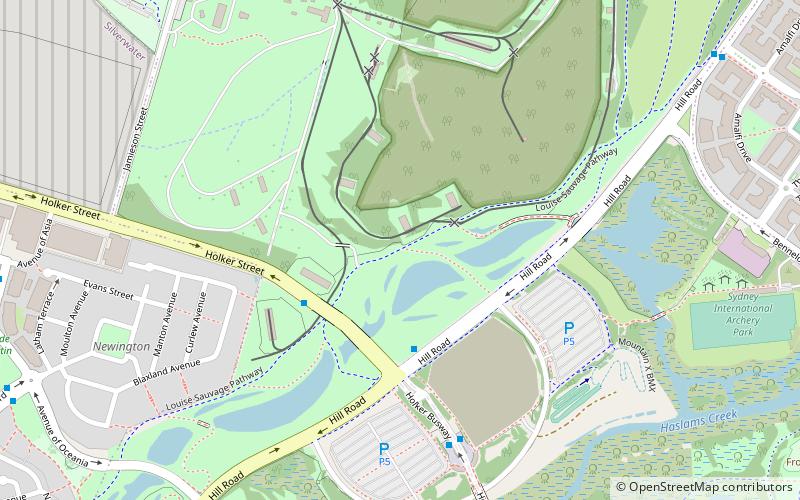
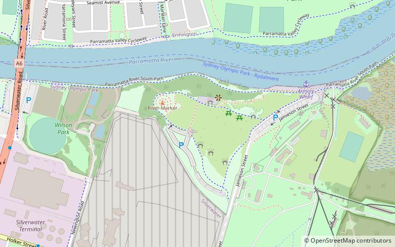
Blaxland Riverside Park (address: Jamieson St) is a place located in Sydney (New South Wales state) and belongs to the category of park, relax in park, playground.
It is situated at an altitude of 43 feet, and its geographical coordinates are 33°49'35"S latitude and 151°3'32"E longitude.
Planning a visit to this place, one can easily and conveniently get there by public transportation. Blaxland Riverside Park is a short distance from the following public transport stations: Avenue of Africa before Avenue of Asia (bus, 12 min walk), Rydalmere Ferry Wharf (ferry, 27 min walk).
Among other places and attractions worth visiting in the area are: George Kendall Riverside Park (park, 11 min walk), Silverwater Bridge (bridge, 13 min walk), Louise Sauvage Pathway (park, 16 min walk).
Blaxland Riverside Park – popular in the area (distance from the attraction)
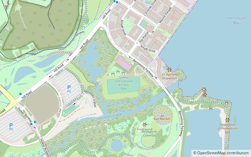
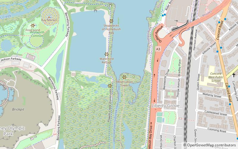
Nearby attractions include: Brickpit Ring Walk, Haslams Creek, Spotless Stadium, Archery.
Frequently Asked Questions (FAQ)
Which popular attractions are close to Blaxland Riverside Park?
How to get to Blaxland Riverside Park by public transport?
Bus
- Avenue of Africa before Avenue of Asia • Lines: 525, 526 (12 min walk)
- 2128 12 • Lines: 525 (14 min walk)
Ferry
- Rydalmere Ferry Wharf • Lines: F3 (27 min walk)
- Sydney Olympic Park • Lines: F3 (30 min walk)

 Sydney Trains
 Sydney Light Rail
 Sydney Ferries
