South Surrey Park, Melbourne
Map

Gallery

Facts and practical information
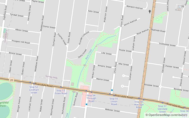
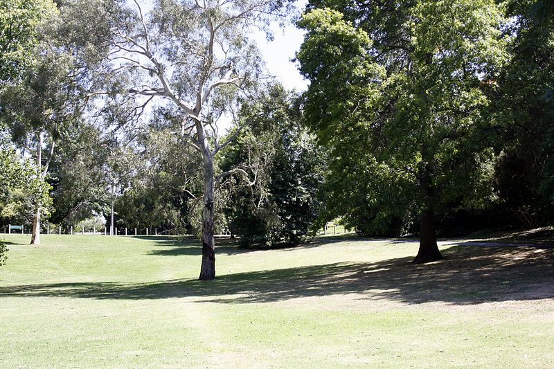
South Surrey Park is a park in Melbourne, Australia, located in the suburb of Surrey Hills. The park is progressively being replanted with indigenous native species. It is currently maintained by the City of Boroondara and the Friends of South Surrey Park. ()
Opened: 1937 (89 years ago)Elevation: 262 ft a.s.l.Coordinates: 37°49'59"S, 145°5'38"E
Day trips
South Surrey Park – popular in the area (distance from the attraction)
Nearby attractions include: Maling Road, Wattle Park, Surrey Gardens, Burwood Village Shopping Centre.
Frequently Asked Questions (FAQ)
Which popular attractions are close to South Surrey Park?
Nearby attractions include Surrey Gardens, Melbourne (12 min walk), Wattle Park, Melbourne (18 min walk), Maling Road, Melbourne (23 min walk).
How to get to South Surrey Park by public transport?
The nearest stations to South Surrey Park:
Tram
Bus
Train
Tram
- Stop 54: Through Road • Lines: 70, 70d (5 min walk)
- Stop 55: Union Road • Lines: 70, 70d (6 min walk)
Bus
- Riversdale Road • Lines: 766, 767 (25 min walk)
- Webster Street/Riversdale Road • Lines: 766 (6 min walk)
Train
- Surrey Hills (18 min walk)
- Chatham (18 min walk)

 Melbourne Trams
 Victoria Trains


