Surrey Gardens, Melbourne
Map

Map

Facts and practical information
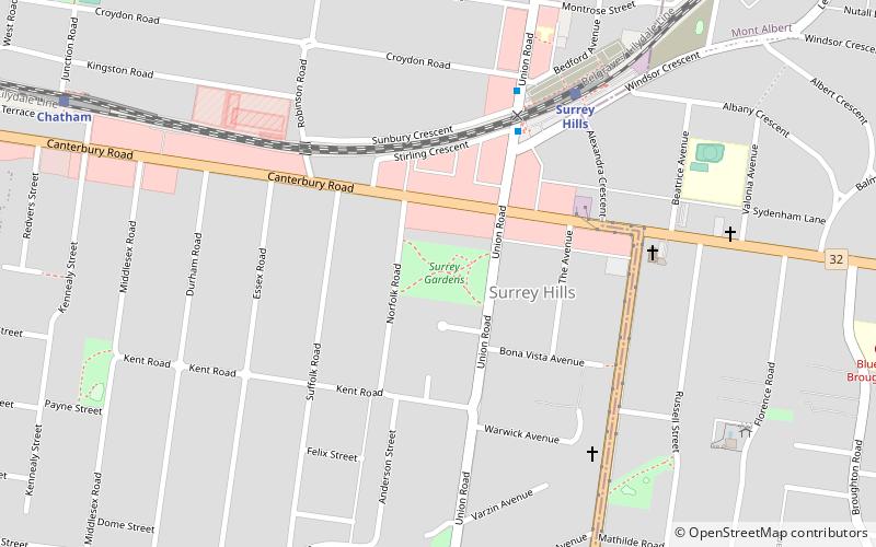
Surrey Gardens is a park in Melbourne, Australia, located in the suburb of Surrey Hills. The park is situated high in Surrey Hills on sloping land from Union Road in the east to Norfolk Road in the west and contains many mature trees. It is maintained by the City of Boroondara. ()
Opened: 1907 (119 years ago)Elevation: 344 ft a.s.l.Coordinates: 37°49'37"S, 145°5'46"E
Address
88 Union RdBoroondara (Surrey Hills)Melbourne
ContactAdd
Social media
Add
Day trips
Surrey Gardens – popular in the area (distance from the attraction)
Nearby attractions include: Maling Road, Wattle Park, Maranoa Gardens, South Surrey Park.
Frequently Asked Questions (FAQ)
Which popular attractions are close to Surrey Gardens?
Nearby attractions include South Surrey Park, Melbourne (12 min walk), Maling Road, Melbourne (20 min walk).
How to get to Surrey Gardens by public transport?
The nearest stations to Surrey Gardens:
Bus
Train
Tram
Bus
- Surrey Hills Railway Station/Windsor Cres • Lines: 766 (6 min walk)
- Riversdale Road • Lines: 766 (15 min walk)
Train
- Surrey Hills (7 min walk)
- Chatham (12 min walk)
Tram
- Stop 54: Through Road • Lines: 70, 70d (16 min walk)
- Stop 55: Union Road • Lines: 70, 70d (16 min walk)

 Melbourne Trams
 Victoria Trains


