Canterbury Road, Camberwell
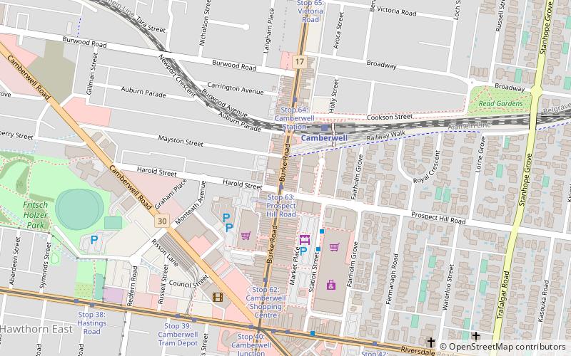
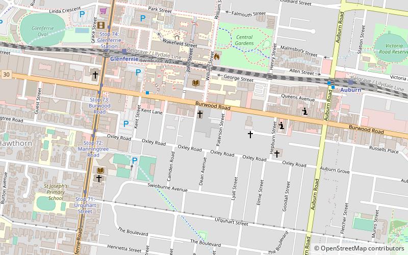
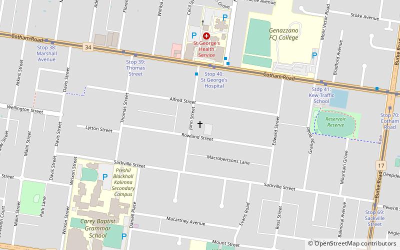
Map

Map

Facts and practical information
Canterbury Road is a major arterial road through eastern Melbourne, linking the inner eastern suburbs to the outer eastern fringe at the western foot of the Dandenong Ranges. ()
Coordinates: 37°49'40"S, 145°3'27"E
Address
Boroondara (Camberwell)Camberwell
ContactAdd
Social media
Add
Day trips
Canterbury Road – popular in the area (distance from the attraction)
Nearby attractions include: Glenferrie Road, Burke Road, Our Lady of Victories Basilica, Hawthorn Arts Centre.
Frequently Asked Questions (FAQ)
Which popular attractions are close to Canterbury Road?
Nearby attractions include Camberwell Junction, Melbourne (7 min walk), Our Lady of Victories Basilica, Melbourne (11 min walk), Camberwell Town Hall, Melbourne (13 min walk), Frognall, Melbourne (21 min walk).


