Earl Park, Sydney

Map
Facts and practical information
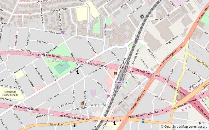
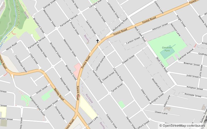
Earl Park is the name of a former sports field in the Sydney suburb of Arncliffe. From 1925 to 1939 it was the site of New South Wales Rugby Football League Premiership club, St. George's home ground and headquarters. The ground was provided by a club benefactor named Lancelot Lewis Earl. Lancelot Earl owned and lived on the Earl Park estate until his death in 1938. The estate was sold in 1940 and a factory was built on the site. ()
Coordinates: 33°56'8"S, 151°8'46"E
Address
Rockdale (Arncliffe)Sydney
ContactAdd
Social media
Add
Day trips
Earl Park – popular in the area (distance from the attraction)
Nearby attractions include: Tempe House, Wolli Creek Regional Park, Wolli Creek, Cooks River Sewage Aqueduct.
Frequently Asked Questions (FAQ)
Which popular attractions are close to Earl Park?
Nearby attractions include Al-Zahra Mosque, Sydney (8 min walk), Wolli Creek Aqueduct, Sydney (15 min walk), M5 cycleway, Sydney (17 min walk), Tempe House, Sydney (17 min walk).
How to get to Earl Park by public transport?
The nearest stations to Earl Park:
Train
Bus
Train
- Arncliffe (3 min walk)
- Turrella (14 min walk)
Bus
- Rockdale Station, Railway St, Stand F (33 min walk)
- Rockdale Station, Railway St, Stand G (34 min walk)
 Sydney Trains
 Sydney Light Rail
 Sydney Ferries


