Cooks River Sewage Aqueduct, Sydney
Map

Gallery

Facts and practical information
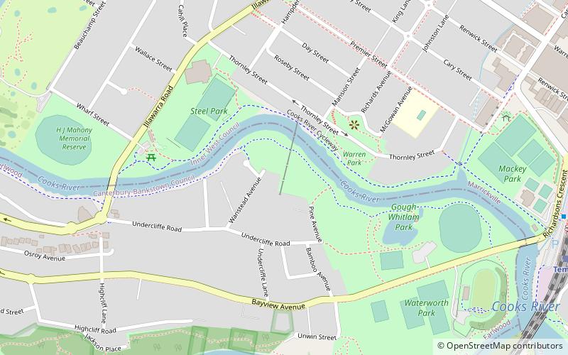
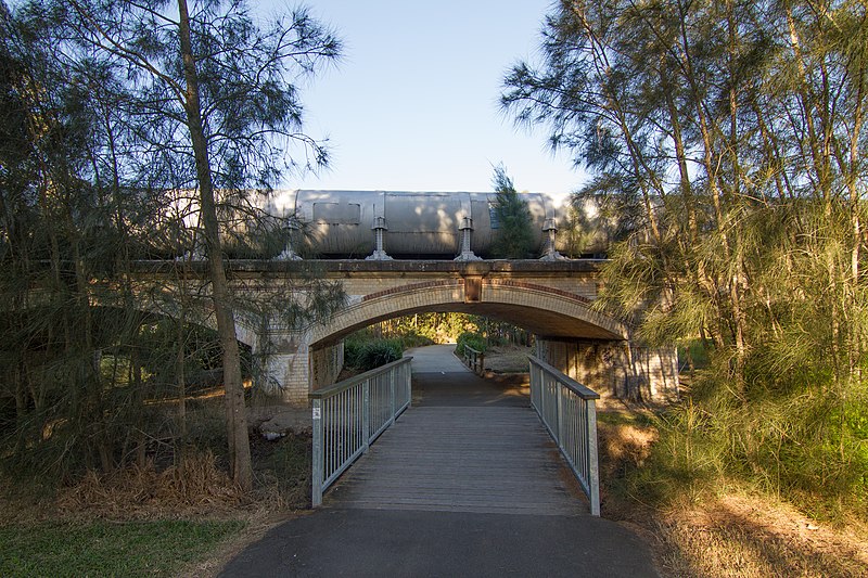
The Cooks River Sewage Aqueduct is a heritage-listed sewage aqueduct located at Pine Street, Earlwood, New South Wales, Australia. It crosses the Cooks River to Thornley Street, Marrickville. It was designed by Sewerage Construction Branch and NSW Department of Public Works and built during 1895 by J. F. Carson, contractor. The property is owned by Sydney Water, an agency of the Government of New South Wales. It was added to the New South Wales State Heritage Register on 18 November 1999. ()
Coordinates: 33°55'21"S, 151°8'52"E
Address
Canterbury (Earlwood)Sydney
ContactAdd
Social media
Add
Day trips
Cooks River Sewage Aqueduct – popular in the area (distance from the attraction)
Nearby attractions include: Tempe House, Wolli Creek Regional Park, Wolli Creek Aqueduct, Al-Zahra Mosque.
Frequently Asked Questions (FAQ)
Which popular attractions are close to Cooks River Sewage Aqueduct?
Nearby attractions include Wolli Creek Aqueduct, Sydney (9 min walk), Tempe House, Sydney (17 min walk), Al-Zahra Mosque, Sydney (18 min walk).
How to get to Cooks River Sewage Aqueduct by public transport?
The nearest stations to Cooks River Sewage Aqueduct:
Train
Light rail
Bus
Train
- Tempe (13 min walk)
- Wolli Creek (14 min walk)
Light rail
- Dulwich Hill • Lines: L1 (25 min walk)
Bus
- Stand A, Sydenham Station • Lines: 418 (30 min walk)

 Sydney Trains
 Sydney Light Rail
 Sydney Ferries


