Wolli Creek Aqueduct, Sydney
Map

Map

Facts and practical information
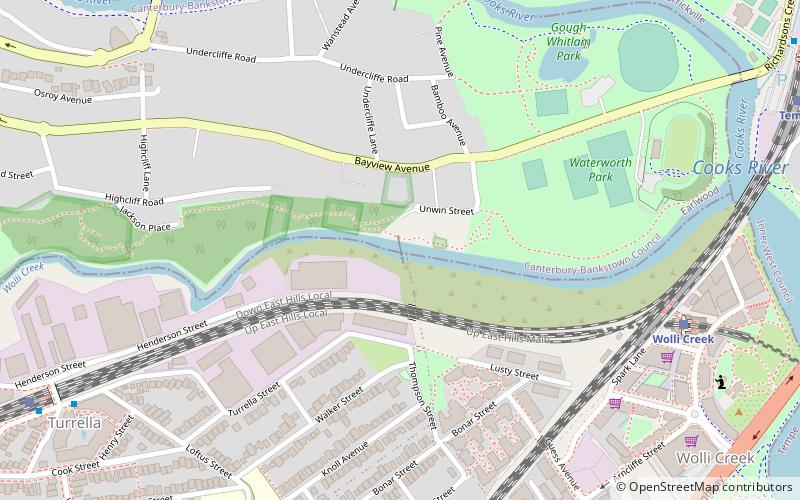
The Wolli Creek Aqueduct is a heritage-listed sewage aqueduct located at Unwin Street, Earlwood, City of Canterbury-Bankstown, New South Wales, Australia. ()
Coordinates: 33°55'38"S, 151°8'52"E
Address
Rockdale (Turrella)Sydney
ContactAdd
Social media
Add
Day trips
Wolli Creek Aqueduct – popular in the area (distance from the attraction)
Nearby attractions include: Tempe House, Wolli Creek Regional Park, Cooks River Sewage Aqueduct, Al-Zahra Mosque.
Frequently Asked Questions (FAQ)
Which popular attractions are close to Wolli Creek Aqueduct?
Nearby attractions include Cooks River Sewage Aqueduct, Sydney (9 min walk), Al-Zahra Mosque, Sydney (10 min walk), Tempe House, Sydney (12 min walk).
How to get to Wolli Creek Aqueduct by public transport?
The nearest stations to Wolli Creek Aqueduct:
Train
Light rail
Bus
Train
- Wolli Creek (10 min walk)
- Turrella (13 min walk)
Light rail
- Dulwich Hill • Lines: L1 (32 min walk)
Bus
- Stand A, Sydenham Station • Lines: 418 (34 min walk)

 Sydney Trains
 Sydney Light Rail
 Sydney Ferries


