Tasmanian Wilderness World Heritage Area: Nature
Places and attractions in the Nature category
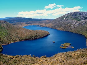
Dove Lake
Dove Lake is a corrie lake near Cradle Mountain in the central highlands region of Tasmania, Australia. It lies in the Cradle Mountain-Lake St Clair National Park.
Mount Ossa
Mount Ossa is the highest mountain in Tasmania, with a summit elevation of 1,617 metres above sea level. It makes up part of the Pelion Range within Cradle Mountain-Lake St Clair National Park in the Central Highlands region of Tasmania, Australia.
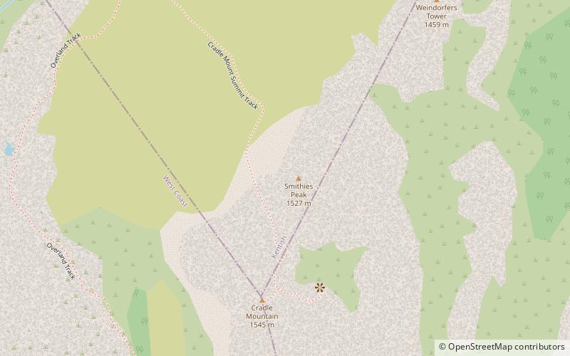
Smithies Peak
The Smithies Peak, sometimes incorrectly called Smithies Towers, is a mountain in the Central Highlands region of Tasmania, Australia. The mountain is situated in the Cradle Mountain-Lake St Clair National Park.
Lake St Clair
Lake St Clair or leeawulenna is a natural freshwater lake located in the Central Highlands area of Tasmania, Australia. The lake forms the southern end of the Cradle Mountain-Lake St Clair National Park.
Cradle Mountain
Cradle Mountain is a locality and mountain in the Central Highlands region of the Australian state of Tasmania. The mountain is situated in the Cradle Mountain-Lake St Clair National Park.
Barn Bluff
Barn Bluff is a mountain located in the Central Highlands region of Tasmania, Australia. The mountain is situated in the Cradle Mountain-Lake St Clair National Park at the junction of the easternmost points of the Murchison and Mackintosh river catchments.
Mount Pelion West
Mount Pelion West is a mountain located in the Central Highlands region of Tasmania, Australia. The mountain is part of the Pelion Range and is situated within the Cradle Mountain-Lake St Clair National Park at the easternmost boundary of the Murchison River catchment.
Artillery Knob
Artillery Knob is a mountain in the Cradle Mountain-Lake St Clair National Park in the Central Highlands region of Tasmania, Australia. It is the 57th highest mountain in Tasmania. It is a prominent feature of the national park, and is a popular venue with bushwalkers.
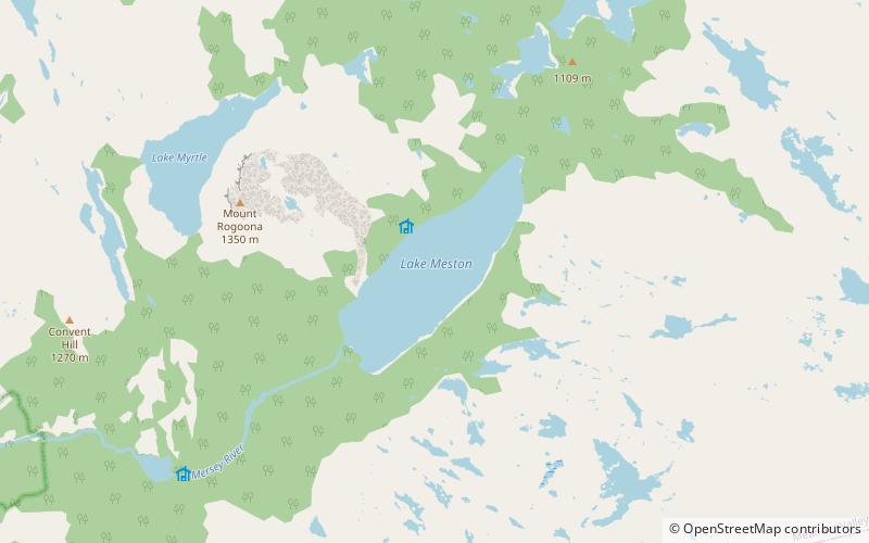
Lake Meston
The Lake Meston is a natural lake that is located in the central northern region of Tasmania, Australia in the Walls of Jerusalem National Park, and is the source of the Mersey River.
Mount Pelion East
Mount Pelion East is a mountain located in the Central Highlands region of Tasmania, Australia. The mountain is situated within the Cradle Mountain-Lake St Clair National Park.
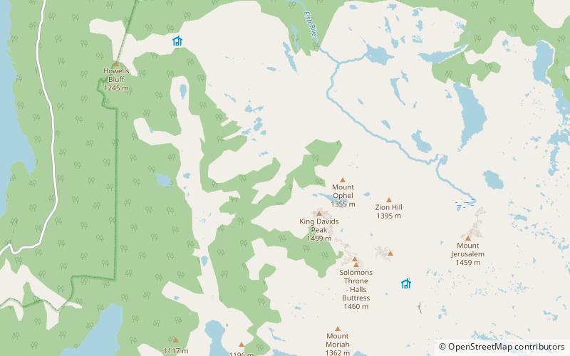
King Davids Peak
King Davids Peak, also known as the West Wall, is a mountain in the Central Highlands region of Tasmania, Australia. The mountain is situated in the Walls of Jerusalem National Park.
Mount Ragoona
Mount Ragoona, sometimes Mount Rogoonga, is a relatively high mountain in the southern region of the Walls of Jerusalem National Park in Tasmania, Australia.
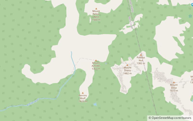
Mount Achilles
Mount Achilles is a mountain that is part of the Du Cane Range, located in the Cradle Mountain-Lake St Clair National Park in Tasmania, Australia. With an elevation of 1,353 metres above sea level, the peak is the 46th highest mountain in Tasmania.
Eldon Range
The Eldon Range is a mountain range located in the west coast region of Tasmania, Australia. The range is located at the north eastern edge of Lake Burbury and is part of the Tasmanian Wilderness World Heritage Area which includes the Franklin-Gordon Wild Rivers National Park.
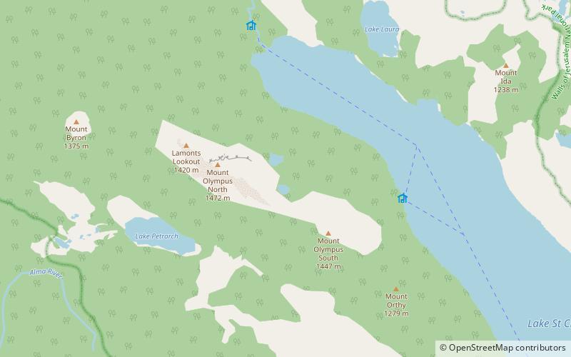
Mount Olympus
Mount Olympus is a mountain in the Cradle Mountain-Lake St Clair National Park in Tasmania, Australia. It is the 24th highest mountain in Tasmania at 1,472 metres above sea level and is situated about 8 kilometres South-East of Mount Gould and about 4 kilometres west of Lake St.
Cathedral Mountain
Cathedral Mountain is a dominant mountain in the Cradle Mountain-Lake St Clair National Park in the central highlands in the state of Tasmania, Australia.
Mount Geryon
Mount Geryon is a mountain in the Central Highlands region of the Australian state of Tasmania. The mountain is part of the Du Cane Range and is situated within the Cradle Mountain-Lake St Clair National Park.
The Acropolis Mountain
The Acropolis is a mountain in the Central Highlands region of Tasmania, Australia. Situated in the Cradle Mountain-Lake St Clair National Park, the mountain is part of the Du Cane Range.
Pelion Gap
Pelion Gap is the mountain pass between Mount Doris and Mount Ossa to the south and Mount Pelion East to the north through which the Overland Track in Tasmania passes.
Mount Gould
Mount Gould is a mountain in the Central Highlands region of Tasmania, Australia. Situated within the Cradle Mountain-Lake St Clair National Park, the mountain is a major feature of the national park, and is a popular venue with bushwalkers and mountain climbers.
Castle Crag
The Castle Crag, also known as the Falling Mountain, is a mountain in the Central Highlands region of Tasmania, Australia. The mountain is part of the Du Cane Range and is situated within the Cradle Mountain-Lake St Clair National Park.
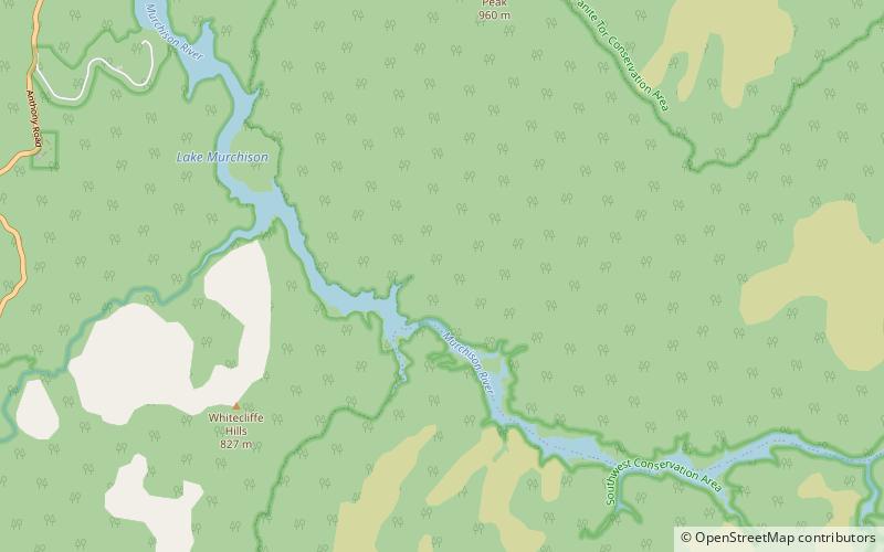
Lake Murchison
Lake Murchison is a man-made water reservoir located in the western region of Tasmania, Australia. The lake is situated within the northern part of Tasmania's West Coast Range and is fed by the Murchison River, the George Creek, the Anthony River, and discharge from the Tribute Power Station.
Kutikina Cave
Kutikina Cave is a rock shelter located on the Franklin River in the South West Wilderness, a World Heritage Area in the Australian state of Tasmania.
Mount Massif
Mount Massif is a mountain in the Central Highlands region of Tasmania, Australia. Situated in the Cradle Mountain-Lake St Clair National Park, the mountain is part of the Du Cane Range.
Mount Thetis
Mount Thetis is a mountain in the Central Highlands region of Tasmania, Australia. It is part of the Pelion Range and is situated within the Cradle Mountain-Lake St Clair National Park.
Pelion Range
The Pelion Range is a mountain range in the Cradle Mountain-Lake St Clair National Park, Tasmania, Australia. The range is named after Mount Pelion in Greece.
Du Cane Range
The Du Cane Range is a mountain range in the Central Highlands region of Tasmania, Australia. An unnamed peak on the main ridge of the Du Cane Range has an elevation of 1,520 metres above sea level and is the eleventh highest mountain peak in Tasmania.
Lake Edgar
Lake Edgar was a natural fault scarp pond on the upper reaches of the Huon River in South West Tasmania.
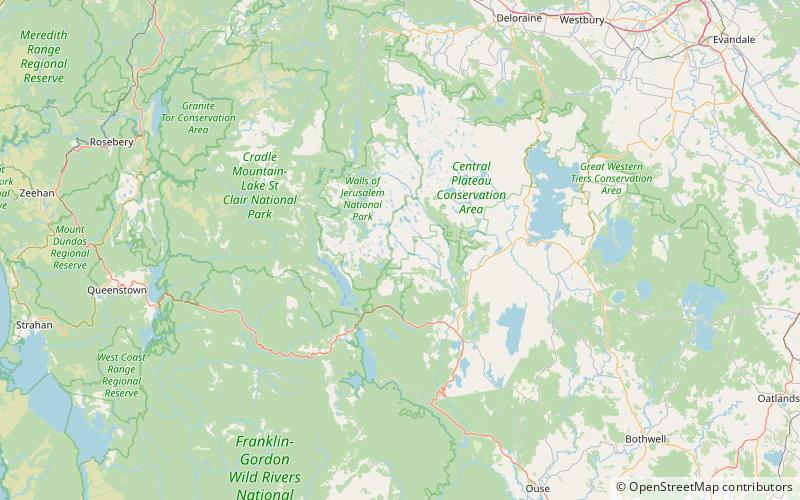
Map

