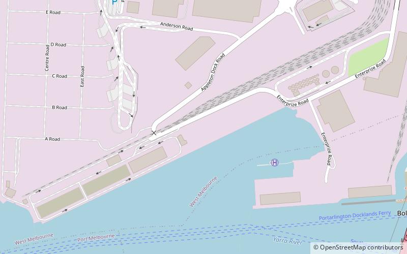
Appleton Dock, Melbourne
Map
Facts and practical information
Appleton Dock is an international shipping facility in Melbourne, Victoria, Australia. It was opened in about 1956 by the Melbourne Harbor Trust, and is named after MHT commissioner William Thomas Appleton, who was a staunch advocate of harbour improvements in the early 20th century. ()
Coordinates: 37°48'56"S, 144°55'25"E
Address
City of Melbourne (West Melbourne)Melbourne
ContactAdd
Social media
Add
Getting there by public transportation
Public transportation stops near this location
- Bus
- Tram
- Train
- Ferry
 Bus
Bus
- Calculate routeSalmon Street/Lorimer Street 10 min walk
- Calculate routeHall Street/Lorimer Street 11 min walk
- Calculate routeWestside Avenue/Lorimer Street 12 min walk
- Calculate routeGraham Street/Lorimer Street 14 min walk
- Calculate routeStop D11: The District 21 min walk
- Calculate routeStop D10: NewQuay Promenade 25 min walk
- Calculate routeStop D18: Victoria Harbour Docklands 28 min walk
- Calculate routeStop D2: Central Pier 30 min walk
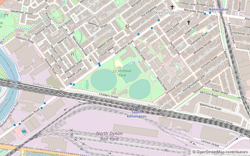
- Calculate routeSouth Kensington 29 min walk
- Calculate routeNorth Melbourne 30 min walk
- Calculate routeFootscray 39 min walk
- Calculate routePort Phillip Ferries 30 min walk
Maps Melbourne TramsMaps
 Victoria Trains
Melbourne TramsMapsVictoria TrainsDay trips


Frequently Asked Questions (FAQ)
Which popular attractions are close to Appleton Dock?
Nearby attractions include Swanson Dock, Melbourne (1 min walk), Bolte Bridge, Melbourne (14 min walk), West Melbourne Swamp, Melbourne (14 min walk), Melbourne Markets, Melbourne (16 min walk).
How to get to Appleton Dock by public transport?
The nearest stations to Appleton Dock:
Bus
Tram
Train
Ferry
Bus
- Salmon Street/Lorimer Street • Lines: 237 (10 min walk)
- Hall Street/Lorimer Street • Lines: 237 (11 min walk)
Tram
- Stop D11: The District • Lines: 35, 70, 70d, 86, 86d (21 min walk)
- Stop D10: NewQuay Promenade • Lines: 35, 70, 70d, 86, 86d (25 min walk)
Train
- South Kensington (29 min walk)
- North Melbourne (30 min walk)
Ferry
- Port Phillip Ferries (30 min walk)