Langman Reserve, Adelaide
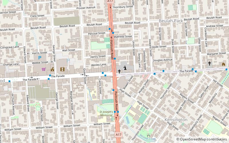
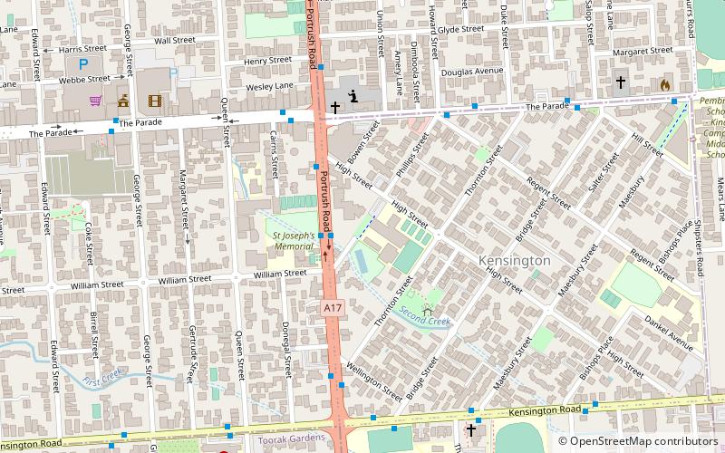
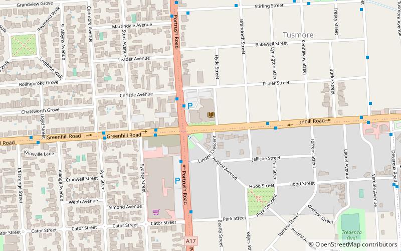
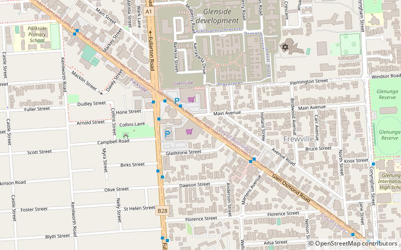
Map
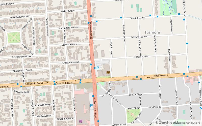
Map

Facts and practical information
Langman Reserve is a large reserve situated in the Adelaide foothills between the suburbs of Burnside and Waterfall Gully, South Australia. It was converted from a quarry in the late 1960s, and is named after a former mayor of the City of Burnside. ()
Elevation: 299 ft a.s.l.Coordinates: 34°56'17"S, 138°38'35"E
Address
TusmoreAdelaide
ContactAdd
Social media
Add
Day trips
Langman Reserve – popular in the area (distance from the attraction)
Nearby attractions include: Burnside Village, Hazelwood Park, Norwood Place, Clayton Wesley Uniting Church.
Frequently Asked Questions (FAQ)
Which popular attractions are close to Langman Reserve?
Nearby attractions include Burnside Civic Centre, Adelaide (2 min walk), Burnside Library, Adelaide (2 min walk), St Matthew's Church, Adelaide (20 min walk), Hazelwood Park, Adelaide (21 min walk).


