Norwood Place, Adelaide
Map

Map

Facts and practical information
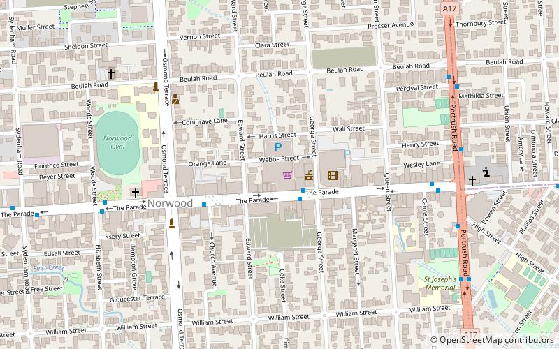
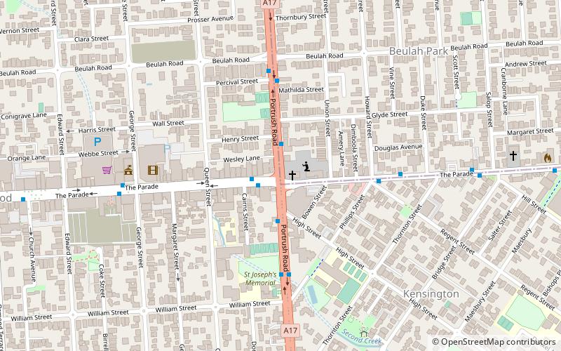
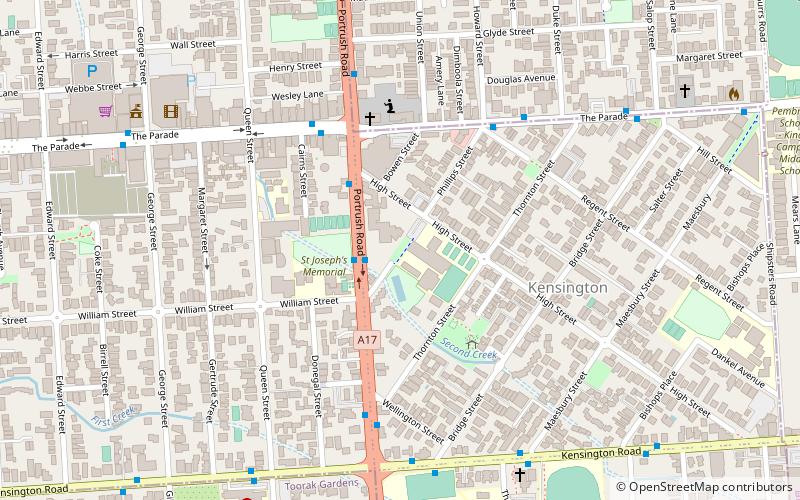
The City of Kensington and Norwood, originally the Corporate Town of Kensington and Norwood, was a local government area in South Australia from 1853 to 1997, centred on the inner eastern Adelaide suburbs of Kensington and Norwood. In November 1997 it amalgamated with the City of Payneham and the Town of St Peters to form the City of Norwood Payneham & St Peters. ()
Coordinates: 34°55'14"S, 138°38'8"E
Address
The ParadeNorwoodAdelaide
ContactAdd
Social media
Add
Day trips
Norwood Place – popular in the area (distance from the attraction)
Nearby attractions include: National Wine Centre of Australia, Rymill Park, Hazelwood Park, Clayton Wesley Uniting Church.
Frequently Asked Questions (FAQ)
Which popular attractions are close to Norwood Place?
Nearby attractions include Norwood Town Hall, Adelaide (4 min walk), Clayton Wesley Uniting Church, Adelaide (9 min walk), Mary MacKillop College, Adelaide (11 min walk), St Matthew's Church, Adelaide (18 min walk).


