Clayton Wesley Uniting Church, Adelaide
Map
Facts and practical information
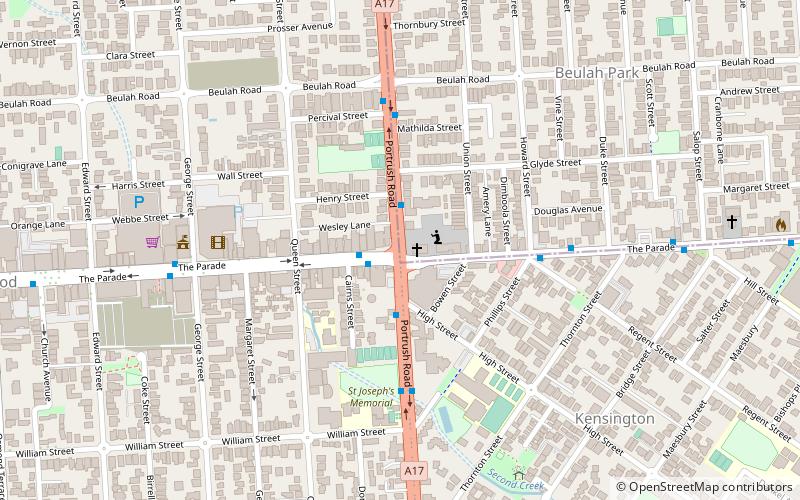
Clayton Wesley Uniting Church, formerly Clayton Congregational Church, is a church building in the Adelaide suburb of Beulah Park, located on Portrush Road, in a commanding position at the eastern end of The Parade, Norwood, in South Australia. The current building with its tall spire was built was built in 1883, although an earlier building was built in 1856. ()
Coordinates: 34°55'15"S, 138°38'28"E
Address
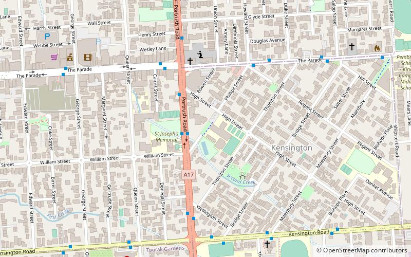
271 Portrush Rd, Norwood SA 5067Beulah ParkAdelaide
ContactAdd
Social media
Add
Day trips


Frequently Asked Questions (FAQ)
Which popular attractions are close to Clayton Wesley Uniting Church?
Nearby attractions include Mary MacKillop College, Adelaide (5 min walk), Norwood Town Hall, Adelaide (5 min walk), St Matthew's Church, Adelaide (13 min walk).